Line © OpenStreetMap contributors (ODbL), checked by Global Adventurer.
The ride
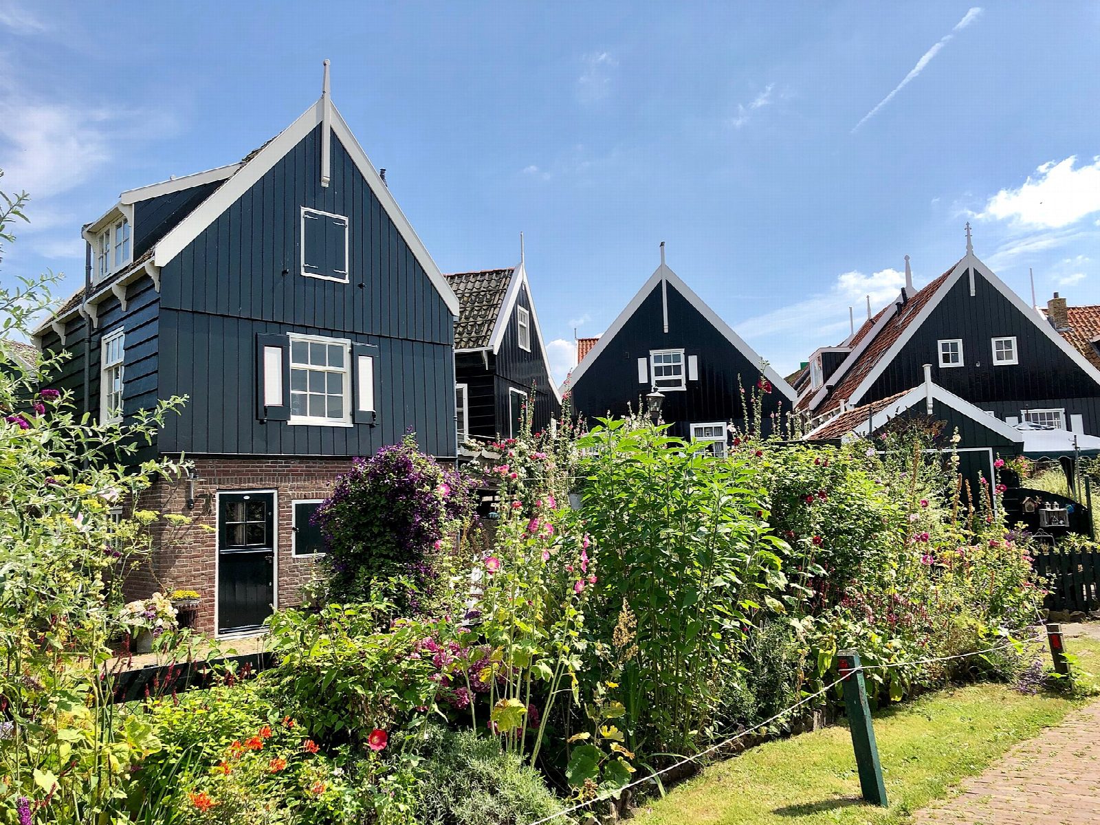
From the Buiksloterweg ferry landing, a free crossing from behind Amsterdam Centraal, the ride heads east through Amsterdam-Noord to Schellingwoude and out along the dyke to Durgerdam, with its row of dyke houses facing the IJmeer. The dyke goes on to Uitdam, then a causeway crosses to Marken, an island until 1957. Back on the mainland the ride goes to the harbour town of Monnickendam, then across the polders to Broek in Waterland and back.
It is 45.2 km (28.1 miles) round with 5 m of climbing; allow about 3 hours of riding. The grade is Moderate, for the distance: it is completely flat, on cycle paths and quiet roads with some brick paving. On the dykes the wind is the real work.
The dyke south of Uitdam is being strengthened. Its cycle path reopened on 21 September 2026, but works go on until December and the work roads are cleared into early 2027, so short closures with signed detours by Ransdorp and Zuiderwoude are possible. Marken is a dead end: you come back along the same causeway.
There is no parking at the ferry; come by public transport, or start from Amsterdam Centraal and cross the IJ on the free ferry, which runs day and night. Monnickendam was given its charter in 1355, and Broek in Waterland was called the temple of Dutch cleanliness in the 1700s.
Route drawn by Global Adventurer along OpenStreetMap paths (© OpenStreetMap contributors, ODbL), with figures worked out from it. Check the forecast and the ground on the day: paths change.
Good to know
- Free ferries cross the IJ from behind Amsterdam Centraal to Buiksloterweg day and night
- Marken was an island until 1957 and is reached along a causeway; you come back the same way
- Monnickendam was given its charter in 1355; its carillon tower, the Speeltoren, dates from 1591
- Broek in Waterland was called the temple of Dutch cleanliness in the 1700s
Getting there
Start: Buiksloterweg ferry. 52.38480, 4.90700
By train: Centraal Station station is 0.7 km from the start.
Places to stay nearby
Rooms in and around Centraal Station: Booking.com → Expedia →
Affiliate links: if you book, Global Adventurer earns a small commission at no cost to you.
Paths and roads change, and surfaces vary with the weather. The line and figures come from OpenStreetMap and our own checks; ride to what you find, give way to walkers and horses, and carry what you need to mend a puncture.