Line © OpenStreetMap contributors (ODbL), checked by Global Adventurer.
The ride
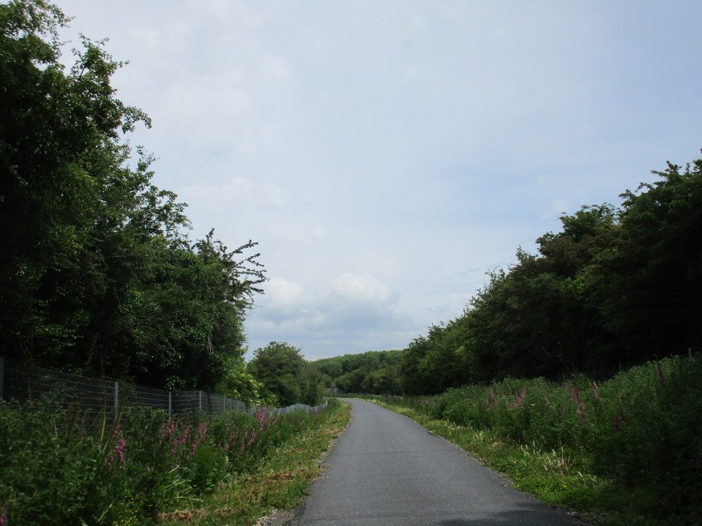
From the greenway car park on Grattan Quay in Waterford the old railway runs west beside the river Suir, past the WIT West Campus, Killoteran and the gardens of Mount Congreve to Kilmeadan. It crosses the viaduct into Kilmacthomas, where the old workhouse of 1850 is now a café, then climbs gently through the farmland below the Comeragh Mountains to Durrow, crosses the Durrow viaduct and goes through the lit Ballyvoyle tunnel, 400 m long. It then drops to the coast by Clonea Road and Abbeyside into Dungarvan.
It is 46.2 km (28.7 miles) one way with 168 m of climbing; allow about 3¼ hours of riding. The grade is Moderate. The path is tarmac and traffic-free, shared with walkers.
At the road crossings you must stop and give way. The railway opened in 1878 and closed in 1967; the Ballyvoyle viaduct was blown up in 1922 in the Civil War, and the greenway opened in 2017.
There are car parks at Waterford, WIT West Campus, Kilmeadan, the Kilmacthomas workhouse, Durrow and Walton Park in Dungarvan, where the ride ends. There is no shuttle, but Bus Éireann route 40 runs back to Waterford about hourly, and bikes can be hired one way between Waterford, Kilmacthomas and Dungarvan, from €25 a day.
Route drawn by Global Adventurer along OpenStreetMap paths (© OpenStreetMap contributors, ODbL), with figures worked out from it. Check the forecast and the ground on the day: paths change.
Good to know
- The Waterford to Mallow railway, opened in 1878 and closed in 1967; the greenway opened in 2017
- Viaducts at Kilmacthomas and Durrow, and the lit 400 m Ballyvoyle tunnel
- The Kilmacthomas workhouse of 1850 is now a café; Mount Congreve gardens and the Suir Valley Railway near Waterford
- Back by Bus Éireann route 40, about hourly, or hire a bike one way
Getting there
Start: Waterford. 52.26440, -7.12046
By train: Waterford Plunkett station is 0.3 km from the start.
Places to stay nearby
Rooms in and around Waterford Plunkett: Booking.com → Expedia →
Affiliate links: if you book, Global Adventurer earns a small commission at no cost to you.
Paths and roads change, and surfaces vary with the weather. The line and figures come from OpenStreetMap and our own checks; ride to what you find, give way to walkers and horses, and carry what you need to mend a puncture.