Line © OpenStreetMap contributors (ODbL), checked by Global Adventurer.
The ride
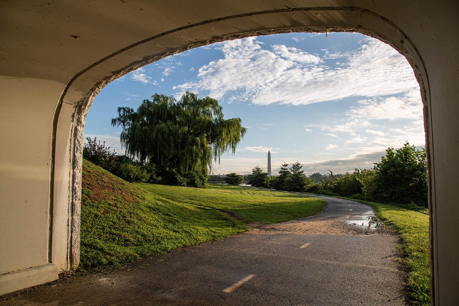
From the Theodore Roosevelt Island car park on the George Washington Memorial Parkway the Mount Vernon Trail runs south beside the Potomac River, past Lady Bird Johnson Park and the Pentagon lagoon, round Gravelly Point and Reagan National Airport and past Daingerfield Island into Old Town Alexandria. After a stretch on the old town's streets it follows the river south again, by the marshes and woods of the parkway, to George Washington's estate at Mount Vernon.
It is 28.4 km (17.6 miles) one way with 57 m of climbing; allow about 2 hours of riding. The grade is Easy. The trail is paved and mostly flat, with a few short climbs near the southern end, and about 2 km is on streets in Alexandria.
The trail is open from 6am to 10pm, though commuters may use it at any time. Since 15 July 2026 it has been detoured round the Long Bridge construction zone at Gravelly Point, and the detour will stay until 2030: expect construction vehicles crossing.
There is parking at every site along the trail except Lady Bird Johnson Park and the Navy-Marine Memorial. The Theodore Roosevelt Island car park can be reached only from the northbound parkway. At Mount Vernon the ride ends at the estate's overflow car park; ride back the same way or arrange a lift.
Route drawn by Global Adventurer along OpenStreetMap paths (© OpenStreetMap contributors, ODbL), with figures worked out from it. Check the forecast and the ground on the day: paths change.
Good to know
- An 18-mile paved trail beside the Potomac River from Theodore Roosevelt Island to George Washington's Mount Vernon
- It links Arlington, Alexandria and Fairfax County with the Potomac bridges into Washington
- About 2 km on quiet streets through Old Town Alexandria; the rest is on the paved trail
- Open from 6am to 10pm; parking at every site along the trail except Lady Bird Johnson Park and the Navy-Marine Memorial
Getting there
Start: Theodore Roosevelt Island. 38.89674, -77.06712
Places to stay nearby
Rooms in and around Washington, DC: Booking.com → Expedia →
Affiliate links: if you book, Global Adventurer earns a small commission at no cost to you.
Paths and roads change, and surfaces vary with the weather. The line and figures come from OpenStreetMap and our own checks; ride to what you find, give way to walkers and horses, and carry what you need to mend a puncture.