Line © OpenStreetMap contributors (ODbL), checked by Global Adventurer.
The ride
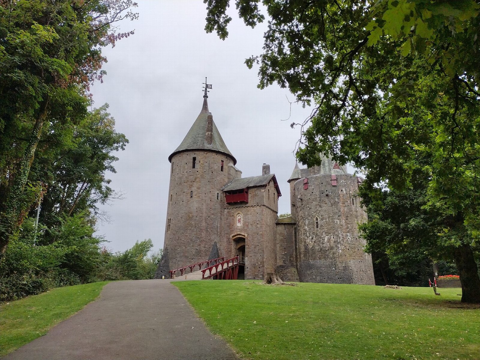
The Taff Trail runs from Cardiff Bay to Brecon; this is its first and easiest stretch. From the Bay it follows the river north past the stadium, through Sophia Gardens and Bute Park to Blackweir, on past Llandaff and Hailey Park, by the Melingriffith water pump of 1807 and the nature reserve at Forest Farm, to Radyr Weir. It passes under the M4 to Tongwynlais and climbs to Castell Coch, the red castle in the beech woods above the village.
It is 30.1 km (18.7 miles) there and back with 94 m of climbing; allow about 2 hours of riding. The grade is Moderate. The trail is tarmac and all but flat as far as Tongwynlais; nearly all the climbing is in the last steep kilometre up to the castle, which many people walk.
Most of it is traffic-free, on a riverside path shared with walkers and commuters, and fine for children and trailers. There are short stretches on streets: around the Bay, where bikes must be walked through the paved waterfront, over the Taff by a main-road bridge, and through Tongwynlais.
There is pay-and-display parking in the Bay and a free car park at the castle, which has toilets. Bikes can be hired at Pontcanna, beside the trail about 6 km from the start.
Route drawn by Global Adventurer along OpenStreetMap paths (© OpenStreetMap contributors, ODbL), with figures worked out from it. Check the forecast and the ground on the day: paths change.
Good to know
- The first miles of the trail from Cardiff to Brecon, opened in 1988, beside the River Taff
- Past the stadium, through Bute Park and Llandaff, by the Melingriffith water pump of 1807 and Radyr Weir
- Tarmac and nearly flat as far as Tongwynlais; the last kilometre up to the castle is steep
- Mostly traffic-free, with short stretches on streets in the Bay, at Llandaff and in Tongwynlais
Getting there
Start: Cardiff Bay · Pay and display. 51.46182, -3.16176
By train: Cardiff Bay station is 0.7 km from the start.
Places to stay nearby
Rooms in and around Cardiff Bay: Booking.com → Expedia →
Affiliate links: if you book, Global Adventurer earns a small commission at no cost to you.
Paths and roads change, and surfaces vary with the weather. The line and figures come from OpenStreetMap and our own checks; ride to what you find, give way to walkers and horses, and carry what you need to mend a puncture.