Line © OpenStreetMap contributors (ODbL), checked by Global Adventurer.
The ride
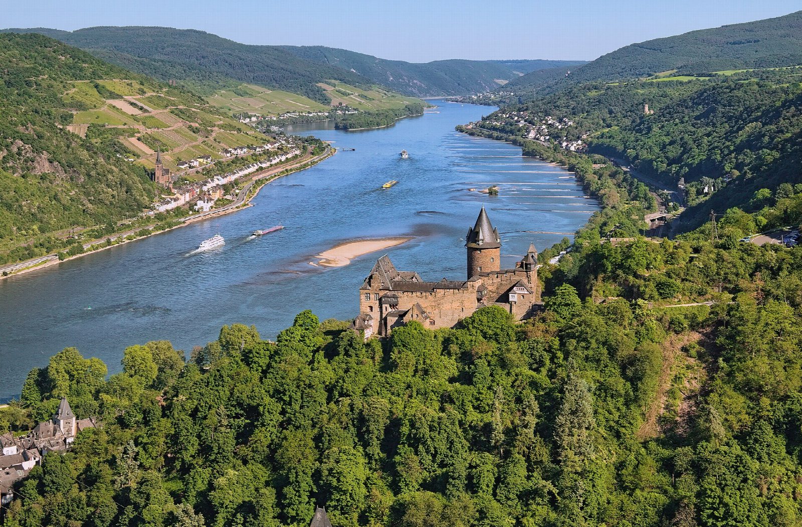
From Bingen station the Rhine cycle path (Rheinradweg) follows the left bank downstream into the Upper Middle Rhine Valley, a World Heritage Site since 2002. It passes below Burg Rheinstein at Trechtingshausen and goes on by Niederheimbach to Bacharach, under Burg Stahleck, then to Oberwesel, with its town wall of 2.6 km and the Schönburg above. Opposite the Loreley rock it comes into St. Goar, below the ruins of Burg Rheinfels, first built in 1245.
It is 27.1 km (16.8 miles) one way with 0 m of climbing; allow about 1¾ hours of riding. The grade is Easy. It is flat, mostly on cycle paths beside the river and through the towns, but the last few kilometres into St. Goar run beside the busy B9.
Floods can close riverside sections: check before you go. While the railway on the right bank is closed, from 10 July to 13 December 2026, the trains on the left bank are full and bike space cannot be guaranteed.
Park at the P+R by Bingen station (€6 a day). Trains run back from St. Goar to Bingen every hour; the Loreley ferry crosses from St. Goar to St. Goarshausen. Bingen has bike hire and free toilets on the riverside.
Route drawn by Global Adventurer along OpenStreetMap paths (© OpenStreetMap contributors, ODbL), with figures worked out from it. Check the forecast and the ground on the day: paths change.
Good to know
- The Upper Middle Rhine Valley, a UNESCO World Heritage Site since 2002, with some 40 castles
- Past Burg Rheinstein, Bacharach under Burg Stahleck, and Oberwesel with its 2.6 km town wall and the Schönburg
- Opposite the Loreley rock, to St. Goar below Burg Rheinfels, first built in 1245
- Hourly trains back to Bingen from St. Goar on the left-bank line
Getting there
Start: Bingen · Pay and display. 49.96831, 7.88509
By train: Bingen (Rhein) Hauptbahnhof station is 0.1 km from the start.
Places to stay nearby
Rooms in and around Bingen (Rhein) Hauptbahnhof: Booking.com → Expedia →
Affiliate links: if you book, Global Adventurer earns a small commission at no cost to you.
Paths and roads change, and surfaces vary with the weather. The line and figures come from OpenStreetMap and our own checks; ride to what you find, give way to walkers and horses, and carry what you need to mend a puncture.