Line © OpenStreetMap contributors (ODbL), checked by Global Adventurer.
The ride
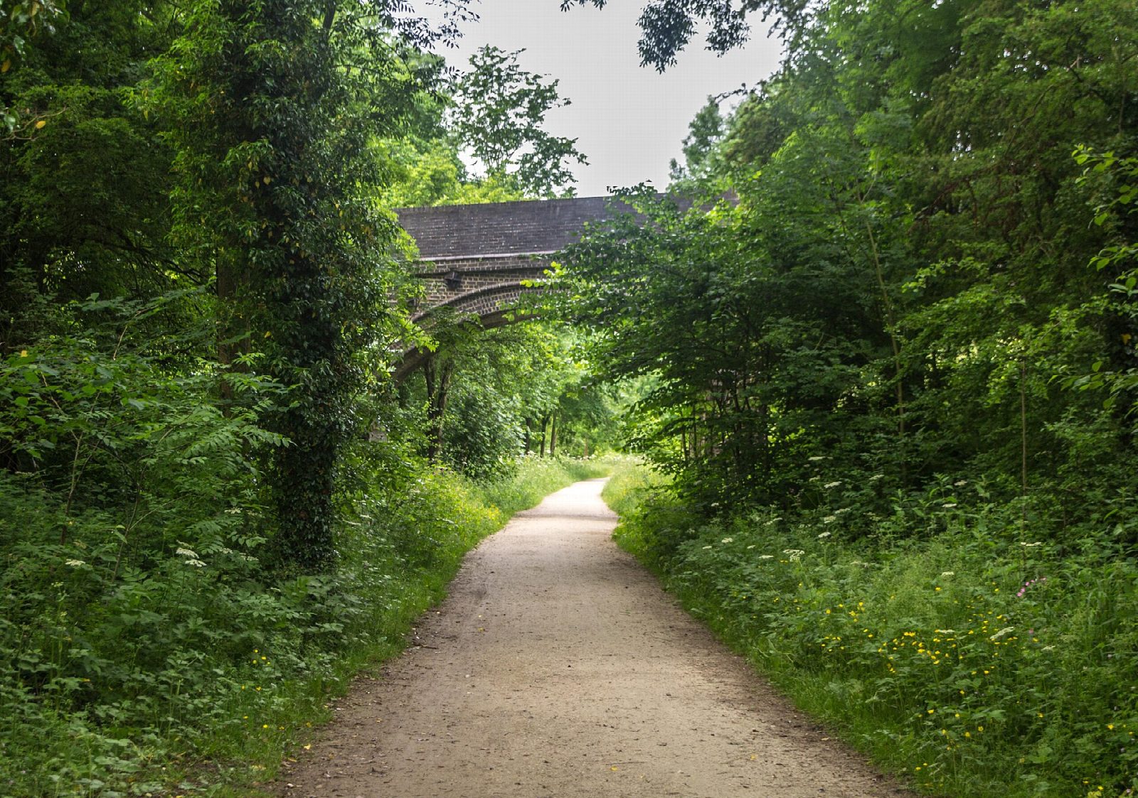
The Tissington Trail follows the old Ashbourne to Buxton railway north from the edge of Ashbourne, past the former stations at Tissington, Alsop and Hartington, to Parsley Hay, where it meets the High Peak Trail. The line opened in 1899 and closed in the 1960s, and the national park opened it as a trail in 1971. Beyond Tissington it climbs out of the trees onto open limestone country.
It is 42.3 km (26.3 miles) there and back with 231 m of climbing; allow about 3 hours of riding. The grade is Moderate. Almost all the climbing is on the way out, at a railway's gradient, so the return is a long freewheel. For a shorter family ride turn round at Tissington, 6 km out, or Alsop, 10.5 km out.
The surface is crushed limestone with stretches of tarmac, traffic-free all the way and suited to children, trailers and most bikes. The one awkward spot comes a few hundred metres from the start, where a viaduct was taken down and the trail dips sharply and climbs out again.
Park at Mapleton Lane car park (pay and display, toilets), where the national park's cycle hire centre and kiosk stand at the trailhead. Parsley Hay has another hire centre, a kiosk and toilets; there are toilets too at Tissington and Hartington stations.
Route drawn by Global Adventurer along OpenStreetMap paths (© OpenStreetMap contributors, ODbL), with figures worked out from it. Check the forecast and the ground on the day: paths change.
Good to know
- The Ashbourne to Buxton railway, opened in 1899 and closed in the 1960s; a trail since 1971
- National park cycle hire and a kiosk at both ends, at Mapleton Lane and at Parsley Hay
- A steady climb all the way out, so the ride home is downhill
- One short, steep dip just north of the start, where a viaduct was taken down
Getting there
Start: Mapleton Lane, Ashbourne. 53.01937, -1.73965
Places to stay nearby
Rooms in and around Mapleton Lane: Booking.com → Expedia →
Affiliate links: if you book, Global Adventurer earns a small commission at no cost to you.
Paths and roads change, and surfaces vary with the weather. The line and figures come from OpenStreetMap and our own checks; ride to what you find, give way to walkers and horses, and carry what you need to mend a puncture.