Line © OpenStreetMap contributors (ODbL), checked by Global Adventurer.
The ride
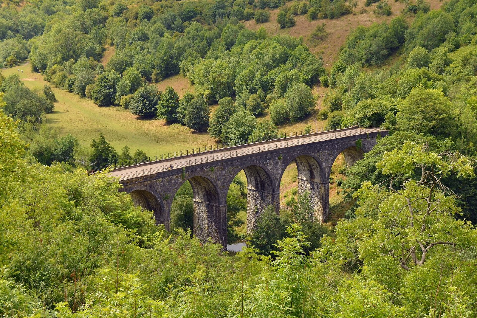
From the old station at Hassop the Monsal Trail runs west up the valley of the Wye on the bed of a Midland Railway line that closed in 1968. It crosses the Headstone Viaduct high above Monsal Dale, passes the old stations at Monsal Dale and Millers Dale, and threads six tunnels, the four longest lit in daylight hours, before ending at Blackwell Mill in Chee Dale. Come back the same way.
It is 23.5 km (14.6 miles) there and back with 151 m of climbing; allow about 1¾ hours of riding. The grade is Easy. The surface is firm crushed stone with some tarmac, wide and never steep: good for children, trailers and tag-alongs, and for any bike, though narrow road tyres are less comfortable on the stone.
The trail is traffic-free throughout but shared with walkers, dogs and horses, and it is busy at weekends and in school holidays, so start early. The tunnel lights go off at dusk, about 4.30pm in winter: carry lights then.
Hassop Station has a pay-and-display car park, cycle hire, a café and toilets. There is a second café with toilets at Millers Dale station, and a second hire centre at Blackwell Mill, at the far end.
Route drawn by Global Adventurer along OpenStreetMap paths (© OpenStreetMap contributors, ODbL), with figures worked out from it. Check the forecast and the ground on the day: paths change.
Good to know
- A Midland Railway main line from 1863 to 1968, a trail since 1981; its tunnels opened to riders in 2011
- Six tunnels, the four longest between 370 m and 490 m and lit in daylight hours, and the Headstone Viaduct at Monsal Head
- Cycle hire at Hassop Station and at Blackwell Mill; cafés and toilets at Hassop and Millers Dale stations
- Traffic-free throughout, on a firm unsealed surface shared with walkers and horse riders
Getting there
Start: Hassop Station · Pay and display. 53.23141, -1.67602
Places to stay nearby
Rooms in and around Peak District: Booking.com → Expedia →
Affiliate links: if you book, Global Adventurer earns a small commission at no cost to you.
Paths and roads change, and surfaces vary with the weather. The line and figures come from OpenStreetMap and our own checks; ride to what you find, give way to walkers and horses, and carry what you need to mend a puncture.

