Line © OpenStreetMap contributors (ODbL), checked by Global Adventurer.
The ride
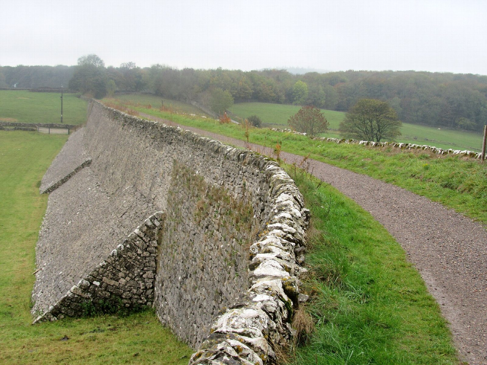
From Parsley Hay the High Peak Trail heads south-east along the Cromford and High Peak Railway, built between 1825 and 1830 and closed in 1967. It runs high across the limestone plateau, over the great curving embankment at Minninglow and past Longcliffe, then drops down the Hopton Incline and through Hopton Tunnel to Middleton Top, where the engine house that once hauled wagons up from the valley still stands. Come back the same way.
It is 36.8 km (22.9 miles) there and back with 95 m of climbing; allow about 2½ hours of riding. The grade is Moderate. The trail is all but level except for the Hopton Incline, short and sharp, which you go down on the way out and up on the way back.
The surface is crushed limestone, traffic-free, and fine for children and most bikes, but much of the trail is remote and the distance is long for young riders: Minninglow, 10 km out, is a good place to turn. There is one main road to cross, the A5012 near Newhaven. Do not go on beyond Middleton Top, where the old inclines are very steep.
Parsley Hay has a pay car park, national park cycle hire, a kiosk and toilets. Middleton Top has refreshments and toilets; there is nothing in between.
Route drawn by Global Adventurer along OpenStreetMap paths (© OpenStreetMap contributors, ODbL), with figures worked out from it. Check the forecast and the ground on the day: paths change.
Good to know
- The Cromford and High Peak Railway, built between 1825 and 1830 and closed in 1967
- Cycle hire, a kiosk and toilets at Parsley Hay; refreshments and toilets again at Middleton Top, and nothing in between
- The Minninglow embankment, Hopton Tunnel and the Hopton Incline, the one short, sharp slope
- One main road to cross, the A5012 near Newhaven; much of the trail is remote
Getting there
Start: Parsley Hay · Pay and display. 53.17045, -1.78225
Places to stay nearby
Rooms in and around Peak District: Booking.com → Expedia →
Affiliate links: if you book, Global Adventurer earns a small commission at no cost to you.
Paths and roads change, and surfaces vary with the weather. The line and figures come from OpenStreetMap and our own checks; ride to what you find, give way to walkers and horses, and carry what you need to mend a puncture.
