Line © OpenStreetMap contributors (ODbL), checked by Global Adventurer.
The ride
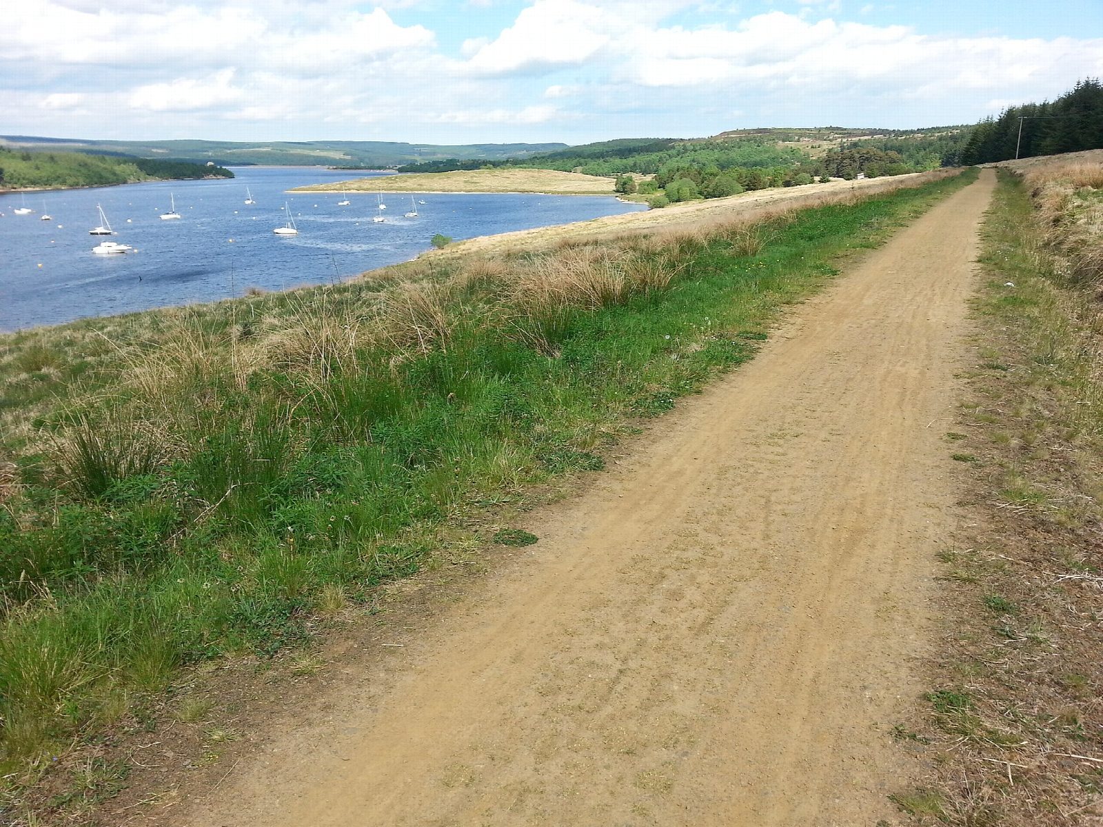
The Lakeside Way is a purpose-built trail right round Kielder Water, the reservoir finished in 1981. This lap starts in Kielder village and goes clockwise: over Kielder Viaduct and along the lonely north shore, round the Belling, to the dam, across it to Tower Knowe, then back along the south shore, round the Bull Crag peninsula and past Kielder Waterside. Sculptures and shelters stand at intervals along the way.
It is 42.0 km (26.1 miles) round with 377 m of climbing; allow about 3¼ hours of riding, and most of a day with stops. The grade is Moderate. The surface is gravel and the trail rolls constantly, never steep for long but seldom flat, so it is harder work than a lakeside ride sounds. It is a big day for children: Forestry England grades it blue, moderate.
The north shore has no café, shop or road for 18 km between Kielder village and the dam, and there is no short cut once you are on it. Carry food, water and a repair kit. The trail is shared with walkers, horse riders and the odd forest vehicle; the dam is crossed on a quiet road.
The car parks are pay and display, and one ticket covers them all for the day. There is cycle hire in Kielder village, opposite the castle. Tower Knowe and Kielder Waterside have cafés and toilets.
Route drawn by Global Adventurer along OpenStreetMap paths (© OpenStreetMap contributors, ODbL), with figures worked out from it. Check the forecast and the ground on the day: paths change.
Good to know
- A purpose-built trail right round Kielder Water, the reservoir finished in 1981
- The north shore has no café, shop or road for 18 km between Kielder village and the dam
- Rolling gravel all the way: never steep for long, but seldom flat
- Cycle hire in Kielder village, opposite the castle; cafés at Tower Knowe and Kielder Waterside
Getting there
Start: Kielder Castle · Pay and display. 55.23438, -2.58225
Places to stay nearby
Rooms in and around Northumberland: Booking.com → Expedia →
Affiliate links: if you book, Global Adventurer earns a small commission at no cost to you.
Paths and roads change, and surfaces vary with the weather. The line and figures come from OpenStreetMap and our own checks; ride to what you find, give way to walkers and horses, and carry what you need to mend a puncture.