Line © OpenStreetMap contributors (ODbL), checked by Global Adventurer.
The ride
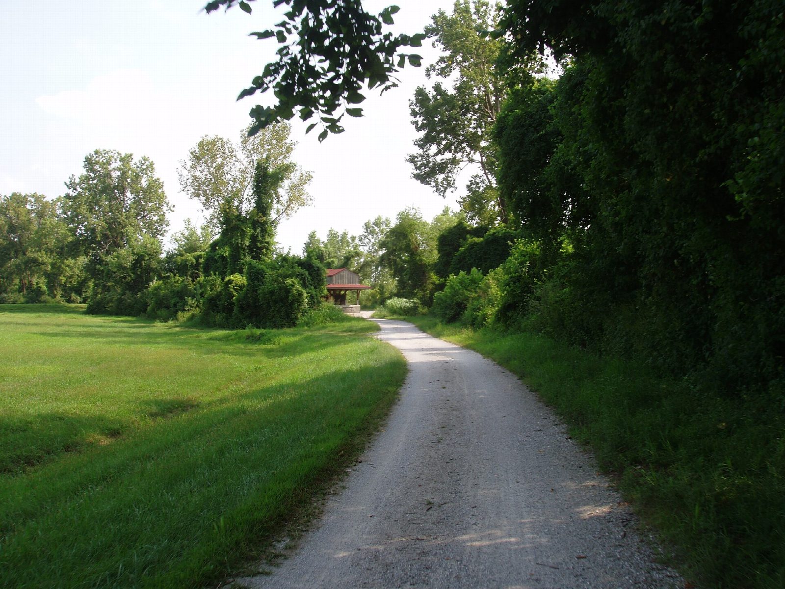
From the Rocheport trailhead the Katy Trail runs south-east on the bed of the old Missouri-Kansas-Texas railroad, between the Missouri River and the bluffs above it. It passes Lewis and Clark Cave, where a pictograph survives on the bluff above (entry is forbidden), then the trailheads at Huntsdale and McBaine and the hamlets of Easley and Wilton, before Hartsburg.
It is 40.1 km (24.9 miles) one way with 46 m of climbing; allow about 2¾ hours of riding. The grade is Moderate, for the distance alone: the trail is flat and the surface is crushed limestone, good for any bike but a narrow road tyre.
The trail is free and open from sunrise to sunset. The stretch between Hartsburg and Route M floods and closes when the Missouri is high. Water and toilets at some trailheads are turned off from 1 November to 31 March. The first piece of the whole trail opened here at Rocheport in 1990.
Rocheport and Hartsburg trailheads both have parking, toilets and water; McBaine has parking and toilets. Rocheport has a café and bike shop. The shuttle services listed by the state park are based elsewhere on the trail, so plan a car at each end or ride back.
Route drawn by Global Adventurer along OpenStreetMap paths (© OpenStreetMap contributors, ODbL), with figures worked out from it. Check the forecast and the ground on the day: paths change.
Good to know
- The Missouri-Kansas-Texas railroad, which stopped running in 1986; the first stretch of trail opened at Rocheport in 1990
- Flat crushed limestone under limestone bluffs, with a pictograph above Lewis and Clark Cave
- Free, and open from sunrise to sunset; parking, toilets and water at Rocheport and Hartsburg
- The stretch near Hartsburg floods when the Missouri is high
Getting there
Start: Rocheport. 38.97755, -92.56069
Places to stay nearby
Rooms in and around Missouri River: Booking.com → Expedia →
Affiliate links: if you book, Global Adventurer earns a small commission at no cost to you.
Paths and roads change, and surfaces vary with the weather. The line and figures come from OpenStreetMap and our own checks; ride to what you find, give way to walkers and horses, and carry what you need to mend a puncture.