Line © OpenStreetMap contributors (ODbL), checked by Global Adventurer.
The ride
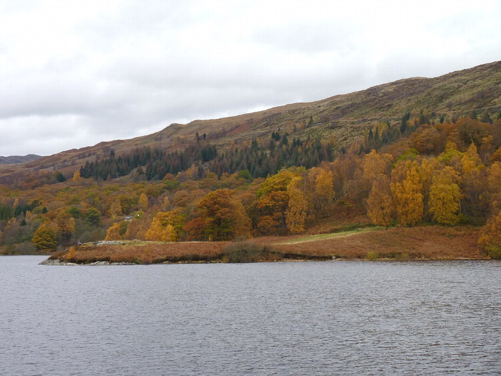
A private tarmac road runs the length of Loch Katrine's north shore, closed to public traffic and used by little more than the odd estate vehicle. From Trossachs Pier it winds through oak and birch woods above the water, in and out of the side glens and round the head of the loch to the pier at Stronachlachar on the far side.
It is 42.1 km (26.2 miles) there and back with 555 m of climbing; allow about 3½ hours of riding, and most of a day with stops. The grade is Moderate. The road is never flat for long, with several long pulls and one short, properly steep brae at the graveyard. It is a full day for children, and a good use for an e-bike.
The surface is smooth tarmac, right for road bikes and trailers. From late March to late October the steamer and cruise boats carry bikes between the two piers for a small charge, so you can sail one way and ride 21 km back. Space is limited and must be booked.
Trossachs Pier has a pay car park, cycle hire with children's bikes, trailers and e-bikes, a café and toilets. The Pier Café at Stronachlachar is open daily all year.
Route drawn by Global Adventurer along OpenStreetMap paths (© OpenStreetMap contributors, ODbL), with figures worked out from it. Check the forecast and the ground on the day: paths change.
Good to know
- A private tarmac road along the loch, closed to public traffic; expect the odd estate vehicle
- Hilly: several long pulls, and one short brae at the graveyard that is properly steep
- From spring to October the steamer carries bikes to or from Stronachlachar, to ride it one way: book ahead
- Cycle hire and a café at Trossachs Pier; the Pier Café at Stronachlachar is open all year
Getting there
Start: Trossachs Pier · Pay and display. 56.23315, -4.42830
Places to stay nearby
Rooms in and around Loch Lomond and the Trossachs: Booking.com → Expedia →
Affiliate links: if you book, Global Adventurer earns a small commission at no cost to you.
Paths and roads change, and surfaces vary with the weather. The line and figures come from OpenStreetMap and our own checks; ride to what you find, give way to walkers and horses, and carry what you need to mend a puncture.