Line © OpenStreetMap contributors (ODbL), checked by Global Adventurer.
The ride
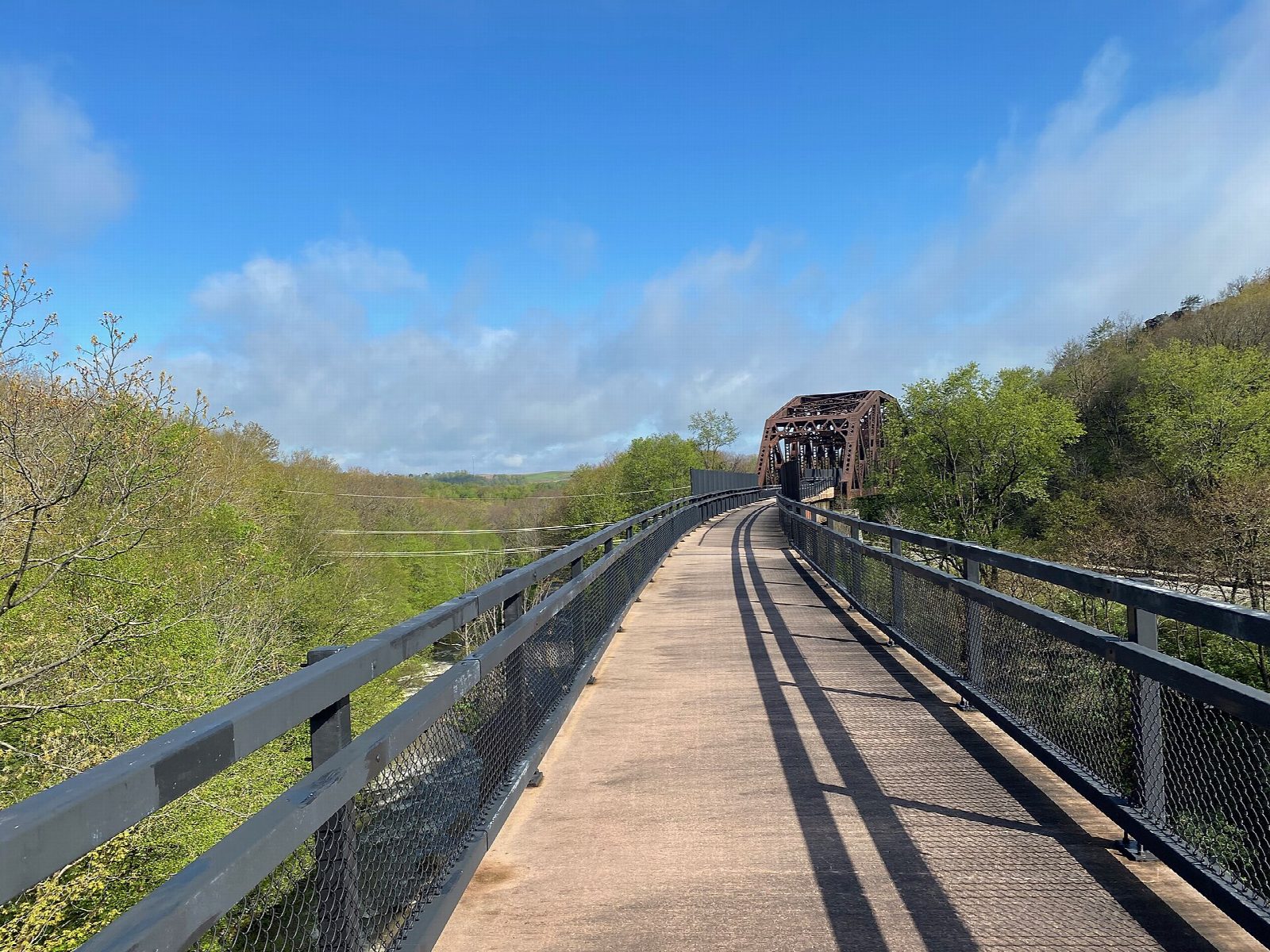
From Meyersdale the old Western Maryland Railway climbs steadily east on the Great Allegheny Passage. It crosses the Keystone Viaduct, 910 ft long and about 100 ft high, then rises to the Eastern Continental Divide at 2,392 ft, the trail's high point, marked by murals in the road underpass. Beyond it the lit Big Savage Tunnel, 3,291 ft long, has a viewpoint at its east end. The trail crosses the Mason-Dixon Line into Maryland, goes through the Borden Tunnel and ends at the Frostburg trailhead.
It is 26.6 km (16.5 miles) one way with 111 m of climbing; allow about 2 hours of riding. The grade is Easy. The surface is crushed limestone and the gradient never more than 2%: up to the Divide, then down.
Both tunnels are lit, but carry a light. The Big Savage Tunnel is closed from late November to early April, with no detour. The Borden Tunnel is being repaired until 30 April 2027; the trail stays open, but flaggers may hold riders.
Park beside the Meyersdale Area Historical Society museum on Main Street. At Frostburg a switchback climbs from the trail to the 1891 depot and the town. The scenic railway does not carry bikes; Frostburg has a shuttle service.
Route drawn by Global Adventurer along OpenStreetMap paths (© OpenStreetMap contributors, ODbL), with figures worked out from it. Check the forecast and the ground on the day: paths change.
Good to know
- The Western Maryland Railway, built in 1911 and 1912 and abandoned in 1975
- The Keystone Viaduct, the Eastern Continental Divide at 2,392 ft, the lit Big Savage Tunnel (3,291 ft) and the Mason-Dixon Line
- Crushed limestone at no more than 2%: a steady climb to the Divide, then downhill into Maryland
- Frostburg's old depot and the town are up a switchback from the trailhead; shuttles back from Frostburg
Getting there
Start: Meyersdale. 39.81634, -79.02122
Places to stay nearby
Rooms in and around Laurel Highlands: Booking.com → Expedia →
Affiliate links: if you book, Global Adventurer earns a small commission at no cost to you.
Paths and roads change, and surfaces vary with the weather. The line and figures come from OpenStreetMap and our own checks; ride to what you find, give way to walkers and horses, and carry what you need to mend a puncture.