Line © OpenStreetMap contributors (ODbL), checked by Global Adventurer.
The ride
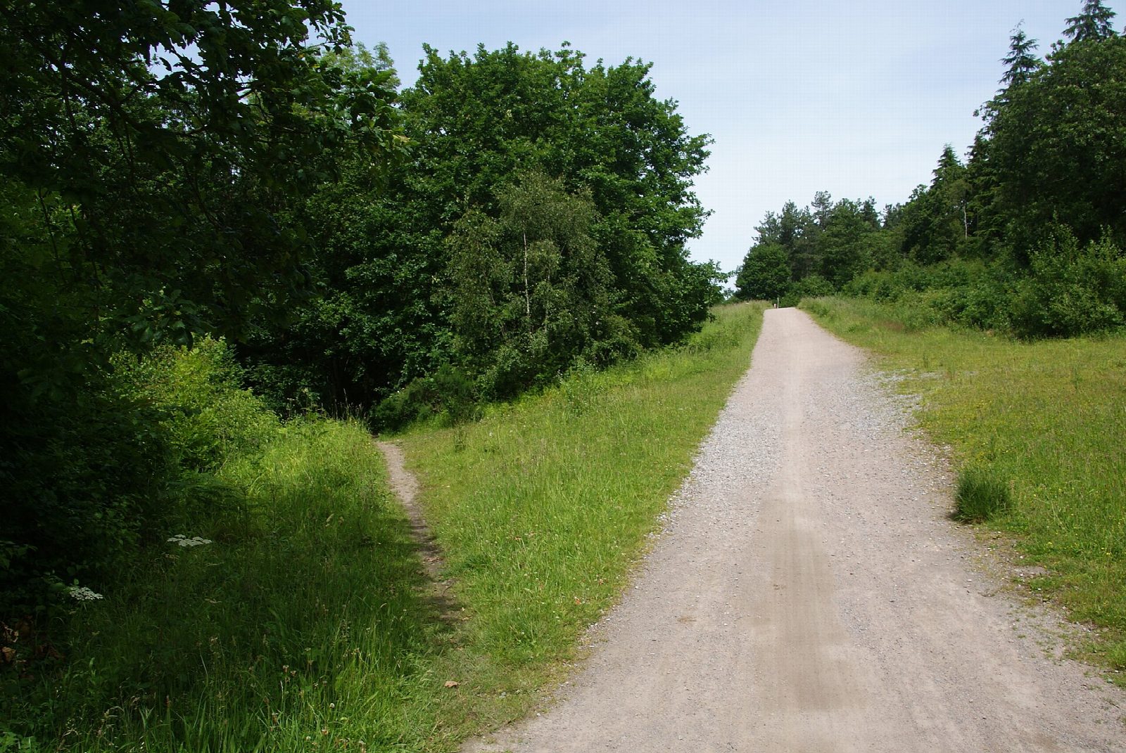
The Crab and Winkle Way is named after the Canterbury and Whitstable Railway, which opened in 1830 and closed in 1952. From Canterbury West station, signed streets and paths climb past the University of Kent, and a traffic-free path then crosses farmland and Clowes Wood, joining the line of the old railway and passing the Winding Pond, dug in 1829 to supply the engine that hauled trains up the hill. The route drops into Whitstable and finishes at the harbour.
It is 24.0 km (14.9 miles) there and back with 158 m of climbing; allow about 1¾ hours of riding. The grade is Easy. There is a 60 m climb out of Canterbury and a rolling middle section; the surface is about two-thirds tarmac and one-third firm stone, with no gates, stiles or steps.
About a third of our line is on roads. From the edge of Canterbury the route is mostly traffic-free, but there are streets at both ends, and on the way into Whitstable it uses South Street, a lane with no pavement. Whitstable's own hire shop does not recommend the route for small children.
There is paid parking at Canterbury West station, a picnic place at the Winding Pond, cycle hire in Whitstable, and everything else in both towns. Both have stations, but on different lines.
Route drawn by Global Adventurer along OpenStreetMap paths (© OpenStreetMap contributors, ODbL), with figures worked out from it. Check the forecast and the ground on the day: paths change.
Good to know
- Named after the Canterbury and Whitstable Railway of 1830, closed in 1952; the path uses part of its line
- A 60 m climb out of Canterbury past the university, then woods and orchards to the sea
- Past the Winding Pond, dug in 1829 to supply the engine that hauled trains up the hill
- Streets at both ends, and one lane with no pavement on the way into Whitstable: not for small children
Getting there
Start: Canterbury West Station · Pay and display. 51.28374, 1.07526
By train: Canterbury West station is 0.1 km from the start.
Places to stay nearby
Rooms in and around Canterbury West: Booking.com → Expedia →
Affiliate links: if you book, Global Adventurer earns a small commission at no cost to you.
Paths and roads change, and surfaces vary with the weather. The line and figures come from OpenStreetMap and our own checks; ride to what you find, give way to walkers and horses, and carry what you need to mend a puncture.