Line © OpenStreetMap contributors (ODbL), checked by Global Adventurer.
The ride
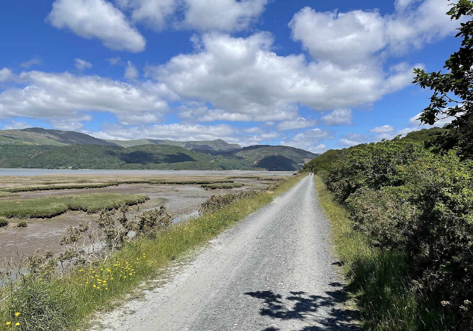
The Mawddach Trail follows the railway that ran from Dolgellau to the coast until 1965, along the south shore of the Mawddach estuary. From the Marian car park in Dolgellau it goes by Penmaenpool, with its wooden toll bridge and old signal box, past Arthog to Morfa Mawddach, then crosses the estuary on Barmouth Bridge, an 820 m timber viaduct of 1867 that trains still use, to reach Barmouth.
It is 29.5 km (18.3 miles) there and back with 5 m of climbing; allow about 2 hours of riding. The grade is Easy: the trail is flat from end to end, and only its length asks anything of you. It is at least 3 m wide, with no steps or steep sections.
The surface is compacted dust, loose and rough in places, so a sturdy bike is better than a road bike; children and trailers are fine. It is traffic-free except at Barmouth, where the last 300 m from the bridge into the town is on the A496. Families may prefer to turn round at the end of the bridge. Near Dolgellau there is a narrow footbridge with a steep ramp.
Dolgellau has a pay car park at the start and cycle hire 200 m away. There are toilets at Dolgellau, Penmaenpool, Morfa Mawddach and Barmouth, and a hotel bar at Penmaenpool.
Route drawn by Global Adventurer along OpenStreetMap paths (© OpenStreetMap contributors, ODbL), with figures worked out from it. Check the forecast and the ground on the day: paths change.
Good to know
- The railway from Ruabon to Barmouth, closed in 1965, along the south shore of the Mawddach estuary
- Over Barmouth Bridge, an 820 m timber viaduct of 1867 that trains still share
- Flat, wide and traffic-free on compacted dust, loose in places; the last 300 m into Barmouth is on the A496
- Cycle hire in Dolgellau; toilets at Dolgellau, Penmaenpool, Morfa Mawddach and Barmouth
Getting there
Start: Dolgellau · Pay and display. 52.74436, -3.88617
Places to stay nearby
Rooms in and around Eryri: Booking.com → Expedia →
Affiliate links: if you book, Global Adventurer earns a small commission at no cost to you.
Paths and roads change, and surfaces vary with the weather. The line and figures come from OpenStreetMap and our own checks; ride to what you find, give way to walkers and horses, and carry what you need to mend a puncture.