Line © OpenStreetMap contributors (ODbL), checked by Global Adventurer.
The ride
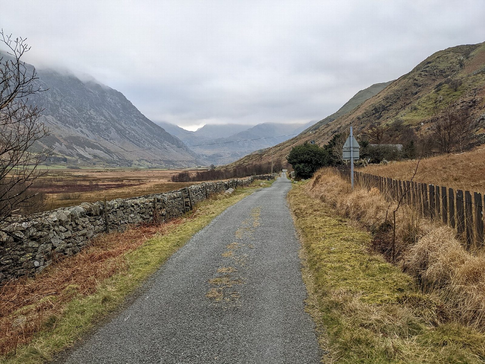
Lôn Las Ogwen climbs from the sea to the mountains. From Porth Penrhyn, the old slate port outside Bangor, it follows the quarry railways up the wooded Cegin valley and over viaducts to Tregarth, then goes through the lit, 255 m Tynal Tywyll tunnel above the Ogwen. From there the signed route takes the B4409 to the Felin Fawr slate works, climbs through the tips of Penrhyn Quarry and takes the old road up the west side of Nant Ffrancon to Ogwen Cottage, at the foot of Llyn Ogwen.
It is 35.6 km (22.1 miles) there and back with 333 m of climbing; allow about 2¾ hours of riding. The grade is Moderate. The first 8 km, to the far end of the tunnel, is gentle and traffic-free but for 200 m of village road in Tregarth, and makes a good family ride on its own; the path carries on from the tunnel for another 1.6 km into Bethesda. After that come long steady climbs, steepest at the very end, and a fast descent home.
The surface is mostly tarmac, with gravel through the quarry. The B4409 stretch is 1.3 km long, with speed humps, and the old Nant Ffrancon road, 4 km long, is shared with a few cars.
There is parking at Porth Penrhyn. Bethesda has cycle hire, shops and cafés; Ogwen Cottage has a snack bar.
Route drawn by Global Adventurer along OpenStreetMap paths (© OpenStreetMap contributors, ODbL), with figures worked out from it. Check the forecast and the ground on the day: paths change.
Good to know
- The slate railways from Bethesda's quarries to the sea, the last of them closed in 1963
- Traffic-free and gentle for the first 8 km, through the lit 255 m Tynal Tywyll tunnel beyond Tregarth
- Beyond Bethesda it climbs through the slate tips and up the old road through Nant Ffrancon, steepest at the very end
- About 1.3 km on the B4409 beyond the tunnel, and the Nant Ffrancon road is shared with a few cars
Getting there
Start: Porth Penrhyn. 53.23496, -4.11225
Places to stay nearby
Rooms in and around Eryri: Booking.com → Expedia →
Affiliate links: if you book, Global Adventurer earns a small commission at no cost to you.
Paths and roads change, and surfaces vary with the weather. The line and figures come from OpenStreetMap and our own checks; ride to what you find, give way to walkers and horses, and carry what you need to mend a puncture.