Line © OpenStreetMap contributors (ODbL), checked by Global Adventurer.
The ride
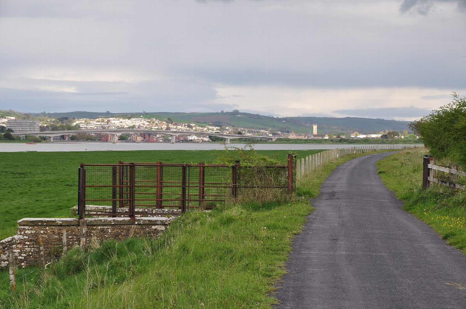
The Tarka Trail starts at Barnstaple station and follows the old railway to Bideford west along the south shore of the Taw estuary. After 5 km it reaches Fremington Quay, where the old station is now a café, then runs on beside creeks and marshes to Instow, on the Torridge, where the signal box of 1861 still stands beside the trail. The line reached Fremington in 1848 and became a path in 1991.
It is 21.6 km (13.4 miles) there and back with 11 m of climbing; allow about 1½ hours of riding. The grade is Easy. The trail is flat from end to end, on tarmac and finely packed stone, and suits every kind of bike, small children and trailers. The access gates are 1.5 m wide.
It is traffic-free almost throughout: the only road is the short link from the station car park to the trail. It is open to the wind off the estuary, which can make one direction much harder than the other.
Barnstaple station has a pay car park, a café and cycle hire in season. Fremington Quay, which makes a good shorter ride of 10 km there and back, has a café, toilets and a free car park. Instow has cafés and toilets.
Route drawn by Global Adventurer along OpenStreetMap paths (© OpenStreetMap contributors, ODbL), with figures worked out from it. Check the forecast and the ground on the day: paths change.
Good to know
- The railway to Bideford, opened to Fremington in 1848 and on to Bideford in 1855; a path since 1991
- Flat and traffic-free along the Taw estuary, on tarmac and fine packed stone
- Cycle hire at Barnstaple station, where the trail starts
- Cafés at Fremington Quay and in Instow; toilets at both
Getting there
Start: Barnstaple Station. 51.07357, -4.06144
By train: Barnstaple station is 0.1 km from the start.
Places to stay nearby
Rooms in and around Barnstaple: Booking.com → Expedia →
Affiliate links: if you book, Global Adventurer earns a small commission at no cost to you.
Paths and roads change, and surfaces vary with the weather. The line and figures come from OpenStreetMap and our own checks; ride to what you find, give way to walkers and horses, and carry what you need to mend a puncture.
