Line © OpenStreetMap contributors (ODbL), checked by Global Adventurer.
The ride
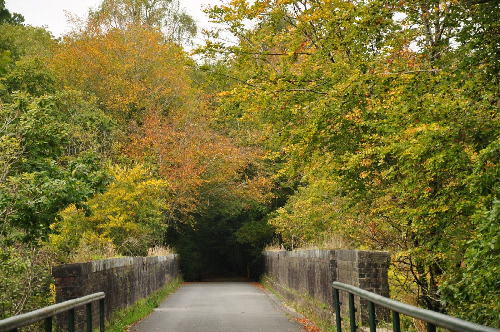
This is the family stretch of Drake's Trail, the cycle route from Plymouth to Tavistock. From the National Trust car park at Plymbridge it climbs the wooded Plym valley on the South Devon and Tavistock Railway, which opened in 1859 and lost its passenger trains in 1962. It crosses four viaducts, Cann, Riverford, Bickleigh and Ham Green, and goes through the curving Shaugh Tunnel before coming out on the edge of Roborough Down above Clearbrook.
It is 15.7 km (9.8 miles) there and back with 168 m of climbing; allow about 1¼ hours of riding. The grade is Easy. The trail is tarmac and climbs steadily all the way out, at a railway's gradient, so the return is an easy run. It suits children, trailers and any bike. The tunnel is long, curved and only dimly lit: bring lights.
It is traffic-free from the car park to the turning point, and shared with walkers. From mid-March to mid-July there is a peregrine watch point on Cann Viaduct.
The car park at Plymbridge is free and has no toilets. The pub in Clearbrook village is a short way down the lane from the turning point. The trail itself goes on across the down to Yelverton, another 4 km, partly on access roads.
Route drawn by Global Adventurer along OpenStreetMap paths (© OpenStreetMap contributors, ODbL), with figures worked out from it. Check the forecast and the ground on the day: paths change.
Good to know
- The South Devon and Tavistock Railway, opened in 1859; its last passenger trains ran in 1962
- Four viaducts, Cann, Riverford, Bickleigh and Ham Green, and the curving Shaugh Tunnel: bring lights
- A steady climb all the way out through the woods, so an easy run home
- Free National Trust car park at Plymbridge, with no toilets; a pub in Clearbrook village
Getting there
Start: Plymbridge Woods · Free parking. 50.40849, -4.07937
Places to stay nearby
Rooms in and around Devon: Booking.com → Expedia →
Affiliate links: if you book, Global Adventurer earns a small commission at no cost to you.
Paths and roads change, and surfaces vary with the weather. The line and figures come from OpenStreetMap and our own checks; ride to what you find, give way to walkers and horses, and carry what you need to mend a puncture.