Line © OpenStreetMap contributors (ODbL), checked by Global Adventurer.
The ride
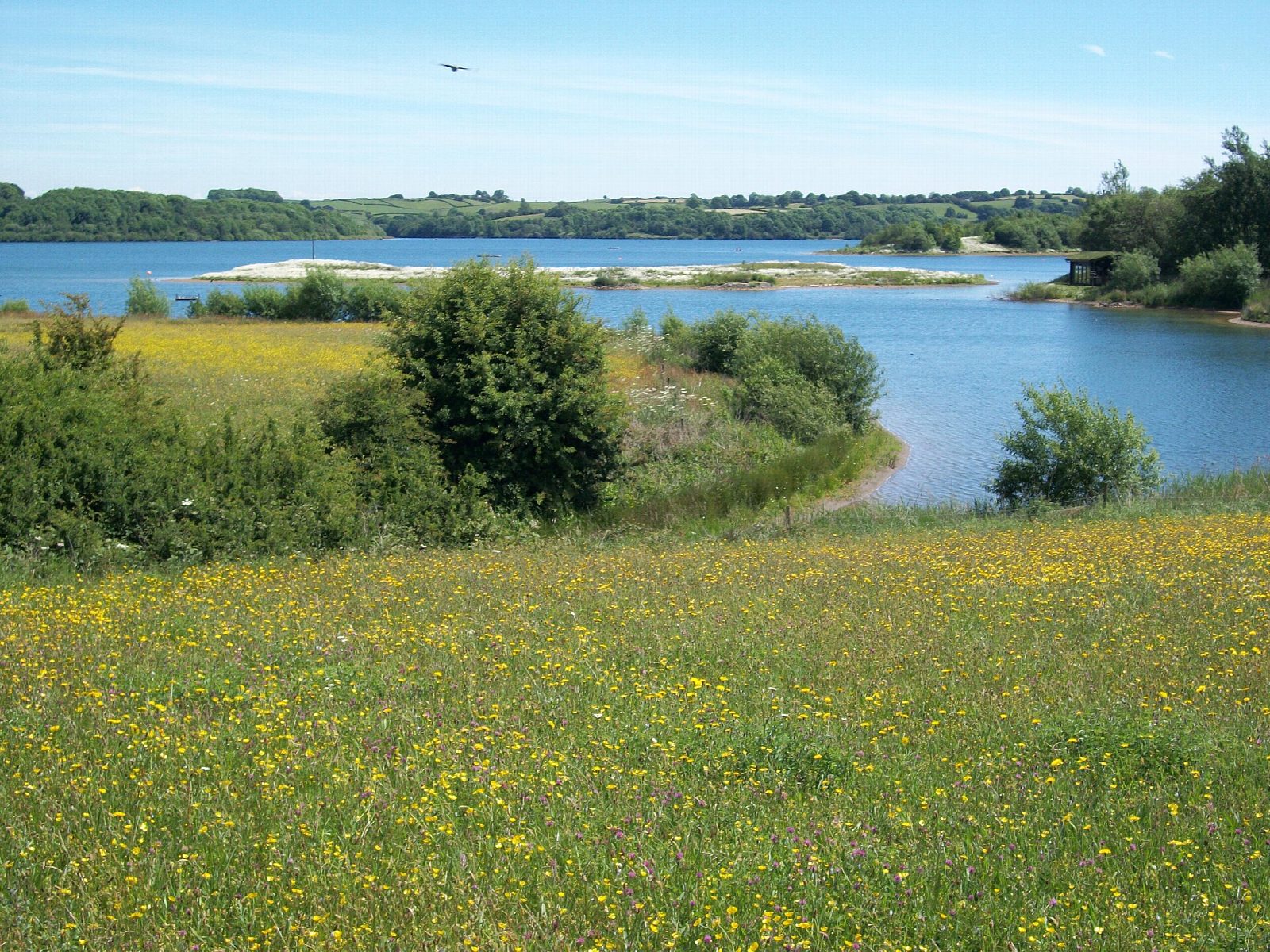
A complete lap of the reservoir on its waymarked trail, starting from the visitor centre. The way goes south across the dam to Millfields, then turns up the east shore on a stone track that winds in and out of wooded inlets as far as Hopton. It follows the village street through Hopton and Carsington, crosses the B5035 and comes back down the west shore past Sheepwash.
It is 13.0 km (8.1 miles) round with 146 m of climbing; allow about 1 hour of riding. The grade is Easy. The dam is level, on tarmac and compacted limestone. The rest is limestone track with a string of short climbs and drops, the hilliest on the east side, which Severn Trent calls its most challenging trail here. Children who can manage hills will enjoy it; it is hard work with a trailer and not one for road bikes.
About 1.7 km through the two villages is on a quiet road, and the B5035 has to be crossed twice, before Hopton and after Carsington. Sheep graze beside the track, and it is shared with walkers all the way round.
The visitor centre has a pay car park, cycle hire with tag-alongs and child seats, a restaurant, a café and toilets. Millfields, at the far end of the dam, has a seasonal kiosk and toilets.
Route drawn by Global Adventurer along OpenStreetMap paths (© OpenStreetMap contributors, ODbL), with figures worked out from it. Check the forecast and the ground on the day: paths change.
Good to know
- A reservoir opened in 1992, with a waymarked trail right round it
- Level across the dam, then a stone track that rolls up and down through woods on the far side
- The trail runs along the village street through Hopton and Carsington and crosses the B5035 twice
- Cycle hire, a café and toilets at the visitor centre
Getting there
Start: Carsington Water Visitor Centre · Pay and display. 53.06191, -1.64164
Places to stay nearby
Rooms in and around Derbyshire: Booking.com → Expedia →
Affiliate links: if you book, Global Adventurer earns a small commission at no cost to you.
Paths and roads change, and surfaces vary with the weather. The line and figures come from OpenStreetMap and our own checks; ride to what you find, give way to walkers and horses, and carry what you need to mend a puncture.