Line © OpenStreetMap contributors (ODbL), checked by Global Adventurer.
The ride
From Girona the greenway (via verda) of the old Carrilet railway heads south past la Creueta and the old stations at Quart and Llambilles to Cassà de la Selva, at 136 m the highest point. It runs on to Llagostera, whose old station is now a tourist office, then drops gently through Font Picant, Santa Cristina d'Aro, Castell d'Aro and S'Agaró to Sant Feliu de Guíxols, ending by the port at the Tinglado, an old railway warehouse.
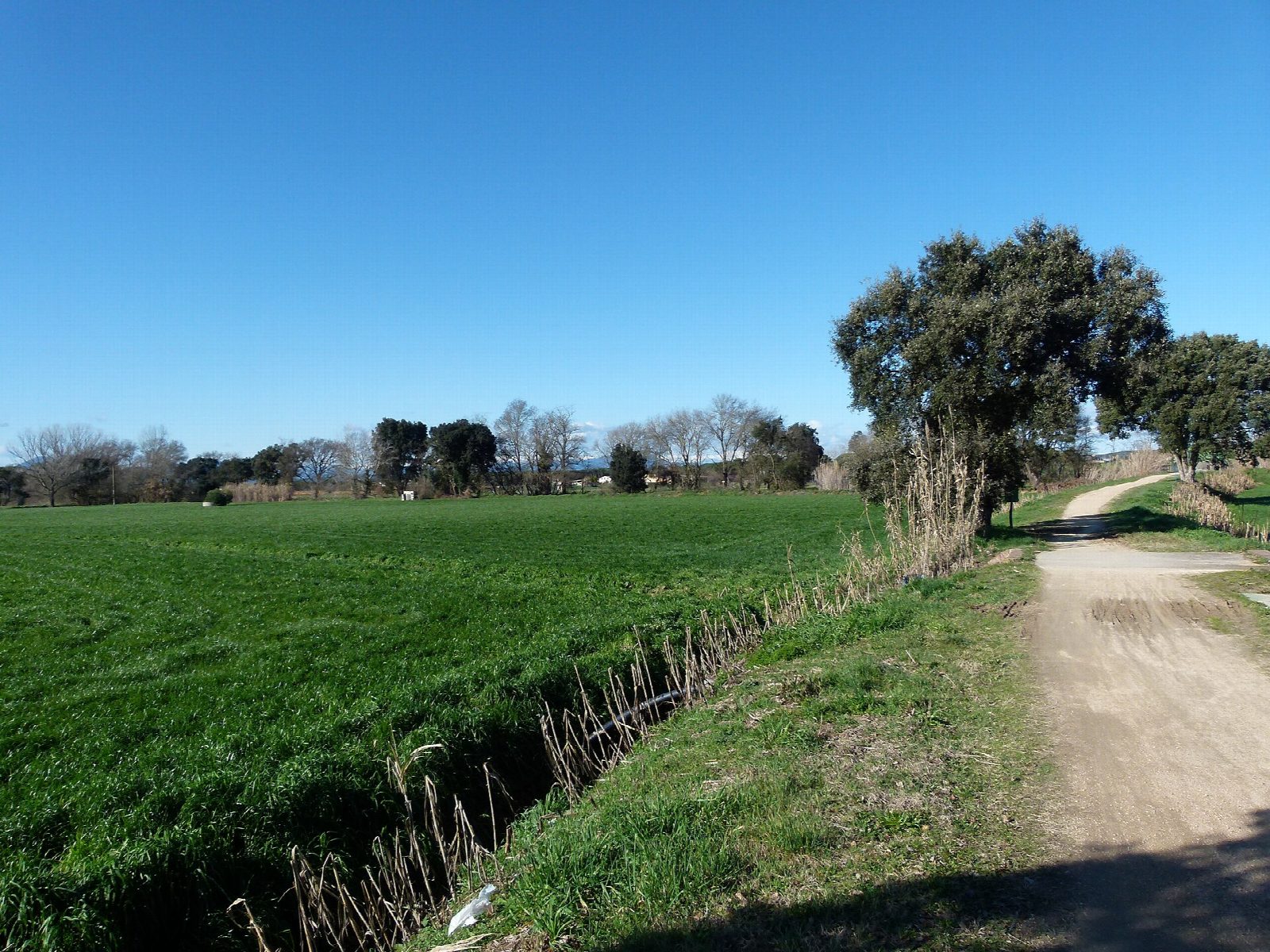
It is 39.5 km (24.5 miles) one way with 99 m of climbing; allow about 2¾ hours of riding. The grade is Moderate. The surface is packed earth and gravel, with metal footbridges and a cable-stayed bridge over the Ridaura, and no tunnels; the average gradient is only 0.5%.
There are many road crossings, and some stretches in towns are shared with walkers: keep right. Avoid the path during heavy-rain warnings. The 750 mm railway, the first of its gauge in Spain, ran from 1892 to 1969 and carried cork from Cassà and Llagostera; the greenway opened in 2000.
There are car parks near the start in Girona, which also has a Renfe station on the Barcelona line. Buses run back from Sant Feliu to Girona, but they may not take bikes; bike taxis and transfers can be booked. Girona and Sant Feliu have bike hire.
Route drawn by Global Adventurer along OpenStreetMap paths (© OpenStreetMap contributors, ODbL), with figures worked out from it. Check the forecast and the ground on the day: paths change.
Good to know
- The Sant Feliu to Girona railway, 750 mm gauge, ran from 1892 to 1969 carrying cork from Cassà and Llagostera; a greenway since 2000
- Packed earth and gravel, rising gently to 136 m at Cassà de la Selva and down to the sea, with no tunnels
- Old stations at Quart, Llagostera (a tourist office) and Sant Feliu, where the Tinglado by the port has a bar
- Many road crossings and some town stretches shared with walkers
Getting there
Start: Girona. 41.97410, 2.82334
By train: Girona station is 0.8 km from the start.
Places to stay nearby
Rooms in and around Girona: Booking.com → Expedia →
Affiliate links: if you book, Global Adventurer earns a small commission at no cost to you.
Paths and roads change, and surfaces vary with the weather. The line and figures come from OpenStreetMap and our own checks; ride to what you find, give way to walkers and horses, and carry what you need to mend a puncture.