Line © OpenStreetMap contributors (ODbL), checked by Global Adventurer.
The ride
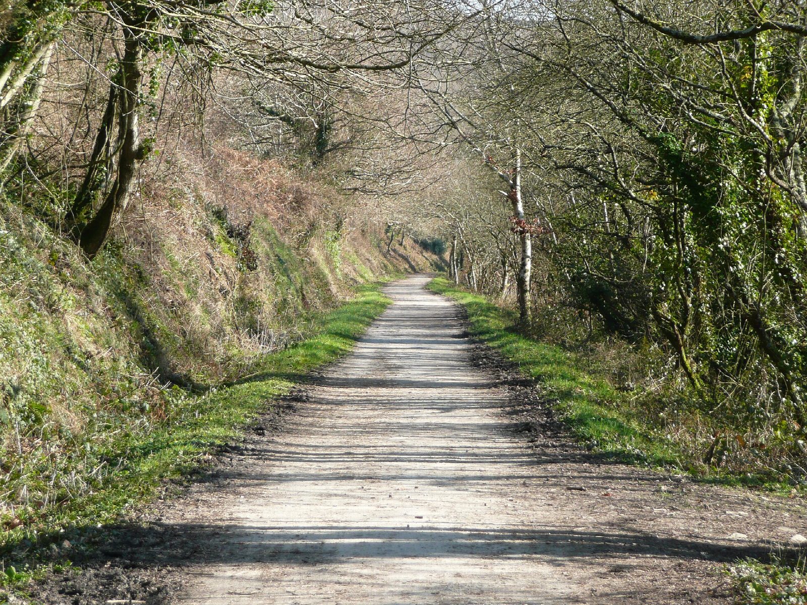
From Wadebridge the Camel Trail turns inland and follows the river up its wooded valley on the Bodmin and Wadebridge Railway, opened in 1834. It passes the old halts at Grogley and Nanstallon, where a tea garden opens straight off the trail, and Boscarne Junction, where steam trains still run alongside for a short way. The Bodmin spur then climbs past the old Dunmere platform to end beside Bodmin Jail.
It is 21.1 km (13.1 miles) there and back with 87 m of climbing; allow about 1½ hours of riding. The grade is Easy. The surface is firm and hard-packed, and the trail is level as far as Boscarne; the last 2.5 km rises about 50 m into Bodmin. It suits children, trailers and most bikes.
The first 500 m from the car park is on town streets, and care is needed there and where the trail reaches Bodmin. Otherwise it is traffic-free, more sheltered than the estuary section and a good deal quieter.
There is cycle hire in Wadebridge, a tea garden near Nanstallon about half way, and a family-friendly pub on the trail above the Dunmere platform. Bodmin has car parks at the end of the trail for anyone starting from that end.
Route drawn by Global Adventurer along OpenStreetMap paths (© OpenStreetMap contributors, ODbL), with figures worked out from it. Check the forecast and the ground on the day: paths change.
Good to know
- The Bodmin and Wadebridge Railway, opened in 1834; its passenger trains ended in 1967
- Wooded and sheltered up the Camel valley, on a firm unsealed surface
- A tea garden beside the trail near Nanstallon and a pub above the old Dunmere platform
- The first few hundred metres out of Wadebridge are on town streets
Getting there
Start: Wadebridge. 50.51593, -4.83463
Places to stay nearby
Rooms in and around Cornwall: Booking.com → Expedia →
Affiliate links: if you book, Global Adventurer earns a small commission at no cost to you.
Paths and roads change, and surfaces vary with the weather. The line and figures come from OpenStreetMap and our own checks; ride to what you find, give way to walkers and horses, and carry what you need to mend a puncture.