Line © OpenStreetMap contributors (ODbL), checked by Global Adventurer.
The ride
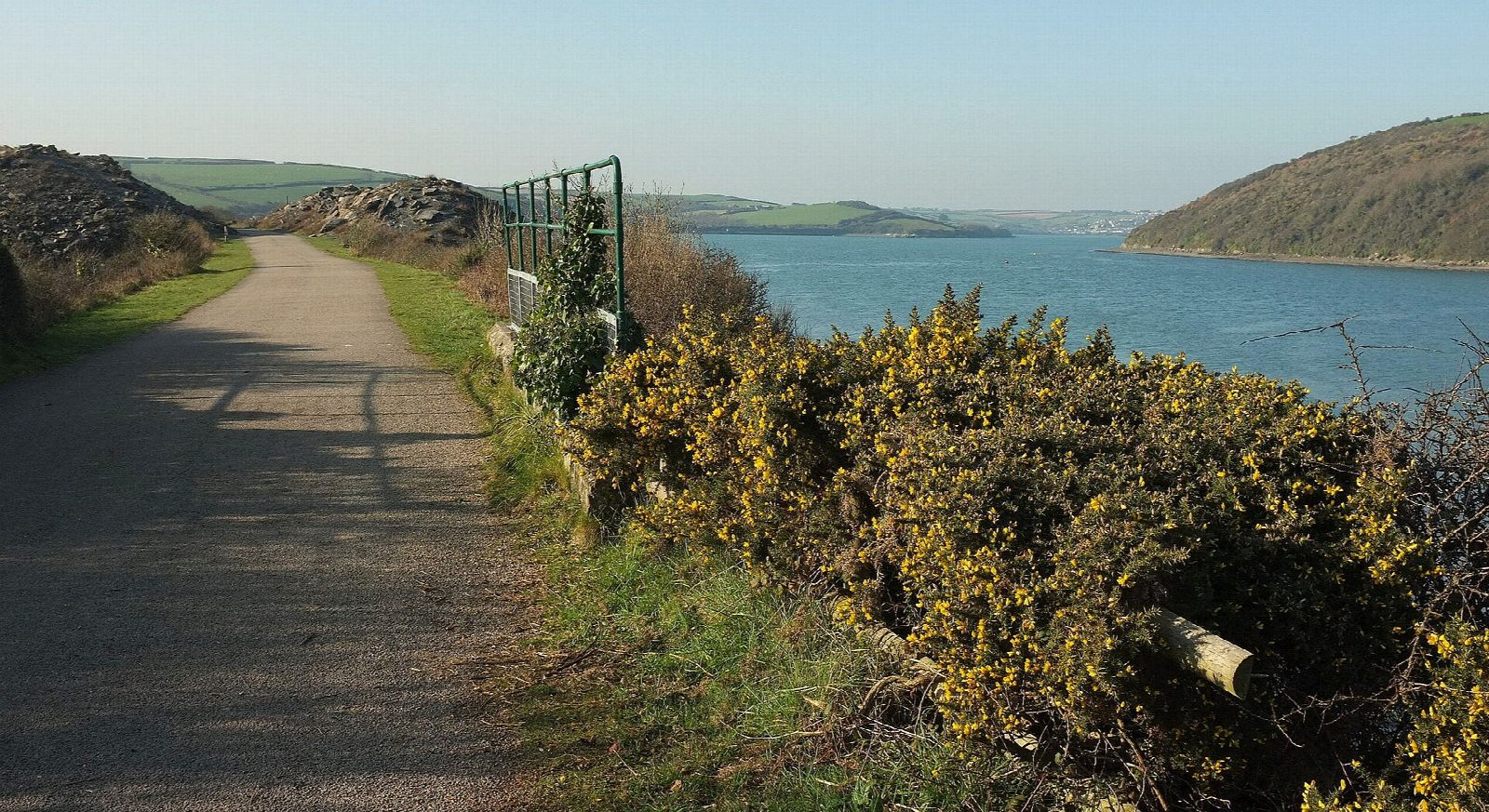
The Camel Trail leaves Padstow on the last miles of the North Cornwall Railway, which opened in 1899 and closed in 1967. It crosses the iron bridge over Little Petherick Creek, passes an old slate quarry and keeps to the shore of the Camel estuary, with sandbanks and wading birds below, all the way to Wadebridge. Turn round where the trail meets the town's streets.
It is 17.4 km (10.8 miles) there and back with 22 m of climbing; allow about 1¼ hours of riding. The grade is Easy. The trail is level, wide and traffic-free on a smooth hard-packed surface with some tarmac. It is as easy as cycling gets, and right for small children, trailers and tag-alongs.
This is the most popular stretch of a very popular trail. In the school holidays it is crowded by late morning with riders of every ability, walkers and dogs, so go early or late in the day, or out of season.
There is cycle hire at both ends: in Padstow beside the start, and in Wadebridge where the trail comes in. The Railway car park in Padstow, next to the trail, is pay and display. Both towns have toilets and plenty of places to eat, and in the warmer months there are teas at the old quarry on the way.
Route drawn by Global Adventurer along OpenStreetMap paths (© OpenStreetMap contributors, ODbL), with figures worked out from it. Check the forecast and the ground on the day: paths change.
Good to know
- The last miles of the North Cornwall Railway, opened in 1899 and closed in 1967
- Level and traffic-free beside the Camel estuary, over the iron bridge at Little Petherick Creek
- Cycle hire at both ends, in Padstow by the car park and in Wadebridge where the trail comes in
- The busiest stretch of the trail: go early or out of season for room
Getting there
Start: Padstow · Pay and display. 50.53842, -4.93551
Places to stay nearby
Rooms in and around Cornwall: Booking.com → Expedia →
Affiliate links: if you book, Global Adventurer earns a small commission at no cost to you.
Paths and roads change, and surfaces vary with the weather. The line and figures come from OpenStreetMap and our own checks; ride to what you find, give way to walkers and horses, and carry what you need to mend a puncture.
