Line © OpenStreetMap contributors (ODbL), checked by Global Adventurer.
The ride
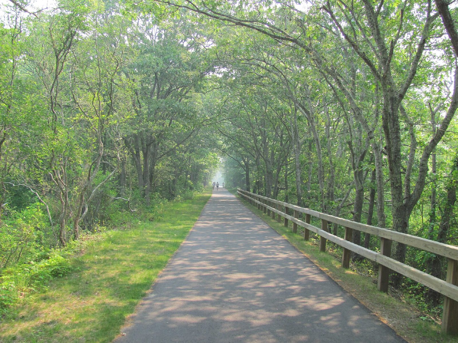
From the Route 134 trailhead in South Dennis the old Cape Cod Central Railroad heads east through Harwich and Brewster, through the edge of Nickerson State Park and on to Orleans. It then turns north up the outer Cape past the salt marshes of Eastham, with a link to the Nauset bike trail and the national seashore, and ends at LeCount Hollow Road in Wellfleet.
It is 39.4 km (24.5 miles) one way with 48 m of climbing; allow about 2¾ hours of riding. The grade is Moderate, for the distance: the trail is paved and nearly flat all the way.
The only stretch on a road is a short crossing of Route 6 near Orleans; take care at the other road crossings. The railway was built between 1861 and 1868; the state bought the line in 1976 and the trail opened in 1980.
Park at the Route 134 trailhead in South Dennis or at the LeCount Hollow Road car park in Wellfleet; there are more car parks at Harwich, Brewster and Orleans for a shorter ride. Cape Cod buses carry up to three bikes, but not e-bikes, and the fixed routes are free: the Flex bus runs from Wellfleet to Orleans and the H2O bus from Orleans towards Dennis.
Route drawn by Global Adventurer along OpenStreetMap paths (© OpenStreetMap contributors, ODbL), with figures worked out from it. Check the forecast and the ground on the day: paths change.
Good to know
- The Cape Cod Central Railroad, built between 1861 and 1868; the state bought the line in 1976 and the trail opened in 1980
- Paved throughout, through Nickerson State Park and past the salt marshes of Orleans and Eastham
- Cape Cod buses carry up to three bikes, but not e-bikes, and the fixed routes are free
- The only stretch on a road is a short crossing of Route 6 near Orleans
Getting there
Start: South Dennis. 41.69039, -70.15755
Places to stay nearby
Rooms in and around Cape Cod: Booking.com → Expedia →
Affiliate links: if you book, Global Adventurer earns a small commission at no cost to you.
Paths and roads change, and surfaces vary with the weather. The line and figures come from OpenStreetMap and our own checks; ride to what you find, give way to walkers and horses, and carry what you need to mend a puncture.