Line © OpenStreetMap contributors (ODbL), checked by Global Adventurer.
The ride
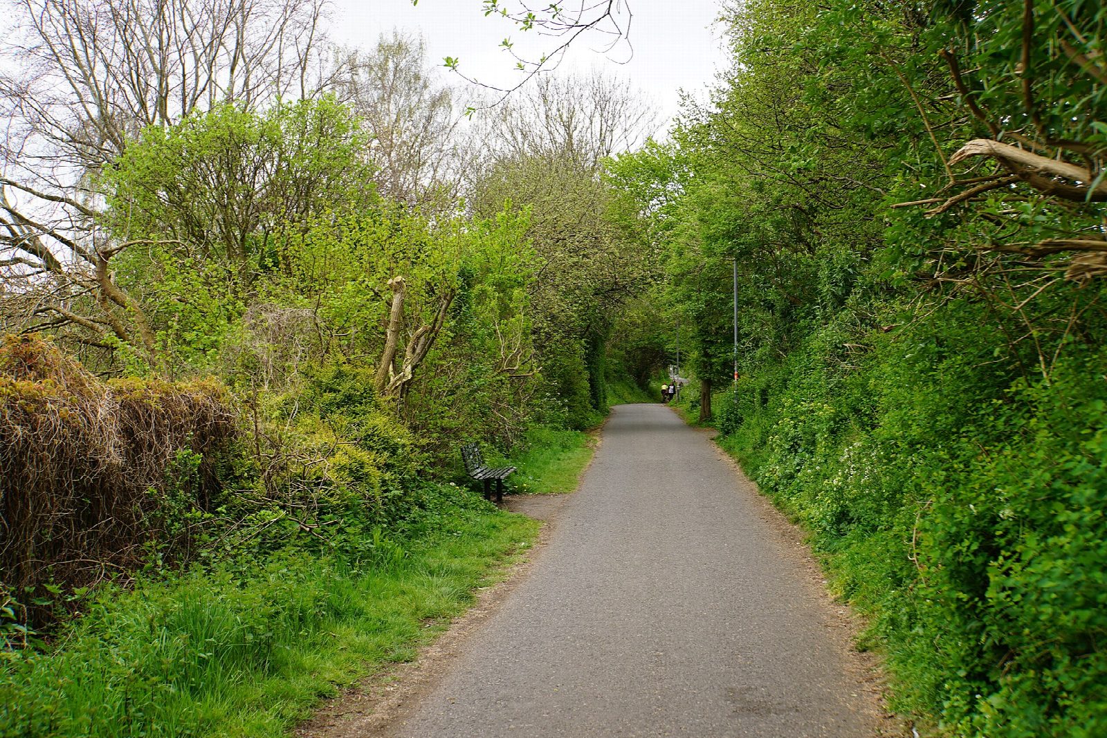
From Temple Meads station it is 1.4 km through the streets of St Philips to the start of the path, which then follows an old Midland Railway branch for 21 km. It climbs gently through Fishponds to the lit tunnel at Staple Hill, then runs downhill through Warmley and Bitton, where steam trains of the Avon Valley Railway run alongside, and crosses the Avon twice near Saltford. In Bath it leaves the old line at Brassmill Lane for the riverside path into the city, ending near Bath Spa station.
It is 25.9 km (16.1 miles) one way with 101 m of climbing; allow about 2 hours of riding. The grade is Easy. The path is tarmac, 3 m wide and suited to any bike. Sustrans built it between 1979 and 1986.
The middle 21 km is traffic-free and fine for children and trailers, though it is a busy commuter route near both cities. The city ends are less so: streets in Bristol, and a kilometre of industrial estate road in Bath before the river. There is a signalled road crossing at Warmley, and riders dismount at Bitton station.
There are cafés in the old stations at Warmley and Bitton, and a pub backing on to the path at Saltford. Trains run back from Bath Spa to Temple Meads. Bitton station has a free car park for a shorter ride.
Route drawn by Global Adventurer along OpenStreetMap paths (© OpenStreetMap contributors, ODbL), with figures worked out from it. Check the forecast and the ground on the day: paths change.
Good to know
- A Midland Railway branch opened in 1869; rebuilt as a path by Sustrans between 1979 and 1986
- Tarmac, 3 m wide and traffic-free for 21 km, through the lit Staple Hill tunnel
- Cafés in the old stations at Warmley and Bitton, where steam trains run beside the path
- City streets for 1.4 km from Temple Meads, and an industrial estate road and the riverside path into Bath; trains run back to Bristol
Getting there
Start: Bristol Temple Meads · Free parking. 51.44928, -2.58156
By train: Bristol Temple Meads station is 0.1 km from the start.
Places to stay nearby
Rooms in and around Bristol Temple Meads: Booking.com → Expedia →
Affiliate links: if you book, Global Adventurer earns a small commission at no cost to you.
Paths and roads change, and surfaces vary with the weather. The line and figures come from OpenStreetMap and our own checks; ride to what you find, give way to walkers and horses, and carry what you need to mend a puncture.