Line © OpenStreetMap contributors (ODbL), checked by Global Adventurer.
The ride
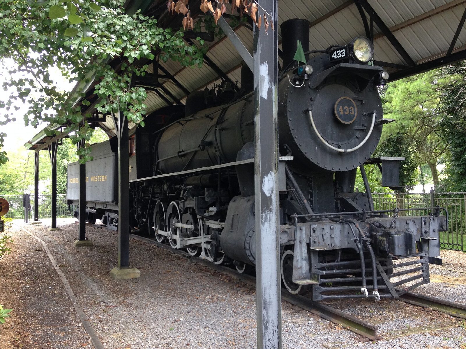
From the Virginia Creeper Trail Welcome Center in Abingdon the old Virginia-Carolina Railroad runs south-east through farmland and woods, past the old stations at Watauga and Alvarado and over a string of wooden trestles. It drops gently to the South Holston River, then follows the valley up into Damascus, where the ride ends at the Damascus trailhead.
It is 25.0 km (15.5 miles) one way with 64 m of climbing; allow about 1¾ hours of riding. The grade is Easy. The surface is gravel and fine for hybrids and mountain bikes. The trestles are slippery when wet, so walk them if you need to, and stop at every road crossing.
The trail is for walkers, riders and horses only. The upper half, from Damascus up to Whitetop, was badly damaged by Hurricane Helene and is closed for rebuilding until 31 March 2027, so for now this is the half to ride.
Park beside the Welcome Center on Green Spring Road in Abingdon, or at the Damascus trailhead. Outfitters in Damascus hire bikes and run shuttles, so you can leave the car in Damascus, ride the shuttle up to Abingdon and pedal back.
Route drawn by Global Adventurer along OpenStreetMap paths (© OpenStreetMap contributors, ODbL), with figures worked out from it. Check the forecast and the ground on the day: paths change.
Good to know
- The Virginia-Carolina Railroad, begun in 1900; the last train ran in 1977 and the trail was dedicated in 1987
- Crushed stone and many wooden trestles, which are slippery when wet: walk them if you need to
- Bike hire and shuttles to Abingdon from outfitters in Damascus
- The trail on from Damascus up to Whitetop is closed for rebuilding after Hurricane Helene until 31 March 2027
Getting there
Start: Abingdon. 36.70933, -81.97159
Places to stay nearby
Rooms in and around Blue Ridge Mountains: Booking.com → Expedia →
Affiliate links: if you book, Global Adventurer earns a small commission at no cost to you.
Paths and roads change, and surfaces vary with the weather. The line and figures come from OpenStreetMap and our own checks; ride to what you find, give way to walkers and horses, and carry what you need to mend a puncture.