Line © OpenStreetMap contributors (ODbL), checked by Global Adventurer.
The ride
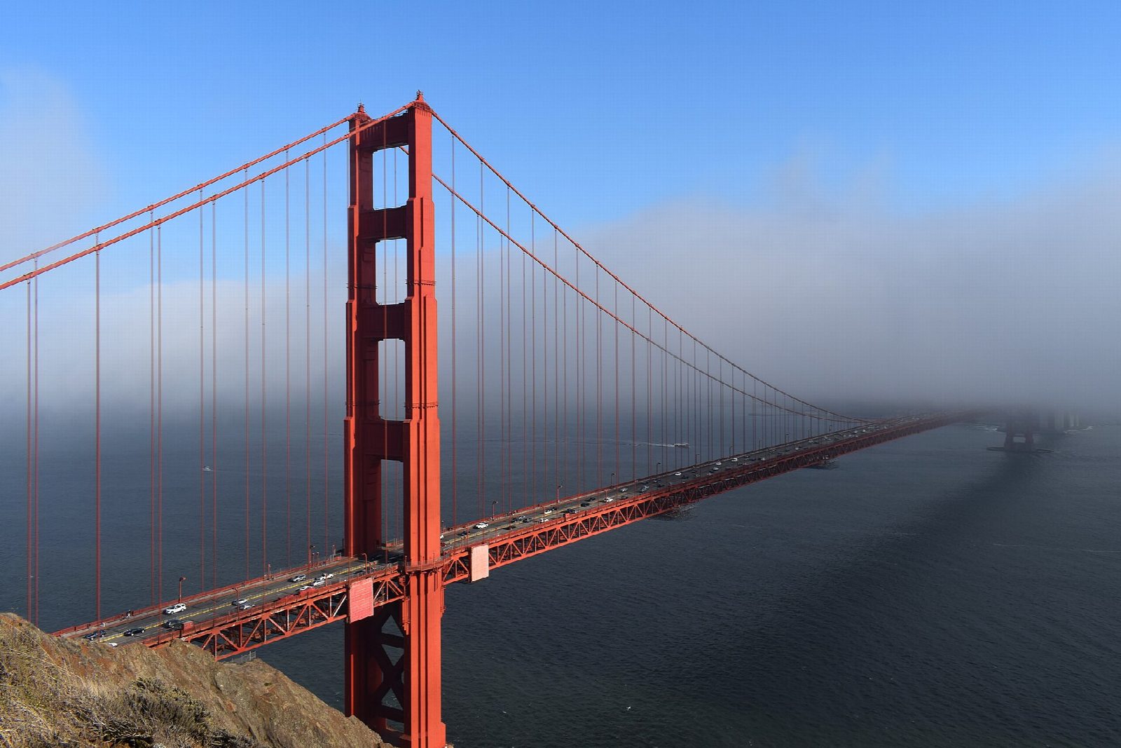
From Crissy Field East Beach the ride follows the bay shore west below the Presidio to Fort Point, then climbs to the Golden Gate Bridge and crosses it on the sidewalk, 1.7 miles from end to end. From Vista Point on the far side it drops down Alexander Avenue into Sausalito and along its waterfront, then follows the Mill Valley-Sausalito path past the marshes at the head of Richardson Bay and round to the old railway path into Tiburon.
It is 24.6 km (15.3 miles) one way with 114 m of climbing; allow about 1¾ hours of riding. The grade is Easy. The climbs are short; the steep one is up to the bridge.
This is not traffic-free: about a third is on roads with traffic, down Alexander Avenue, through Sausalito and on Tiburon Boulevard's bike lanes. On the bridge, bikes use the east sidewalk on weekdays until 3.30pm and the west sidewalk later; at weekends, both until 1 November, then the west one only. The limit is 15 mph, and 5 mph round the towers.
Parking at Crissy Field East Beach is free. Golden Gate Ferry boats from Sausalito and Tiburon carry bikes free to the Ferry Building in San Francisco; the fare is $8.50 by Clipper card.
Route drawn by Global Adventurer along OpenStreetMap paths (© OpenStreetMap contributors, ODbL), with figures worked out from it. Check the forecast and the ground on the day: paths change.
Good to know
- The Golden Gate Bridge opened in 1937; which sidewalk bikes use depends on the day and the time
- Free parking at Crissy Field East Beach
- Golden Gate Ferry carries bikes free from Sausalito and Tiburon back to the Ferry Building
- On roads with traffic down Alexander Avenue into Sausalito and on Tiburon Boulevard's bike lanes
Getting there
Start: Crissy Field. 37.80588, -122.45072
Places to stay nearby
Rooms in and around Bay Area and Big Sur: Booking.com → Expedia →
Affiliate links: if you book, Global Adventurer earns a small commission at no cost to you.
Paths and roads change, and surfaces vary with the weather. The line and figures come from OpenStreetMap and our own checks; ride to what you find, give way to walkers and horses, and carry what you need to mend a puncture.