Line © OpenStreetMap contributors (ODbL), checked by Global Adventurer.
The paddling route
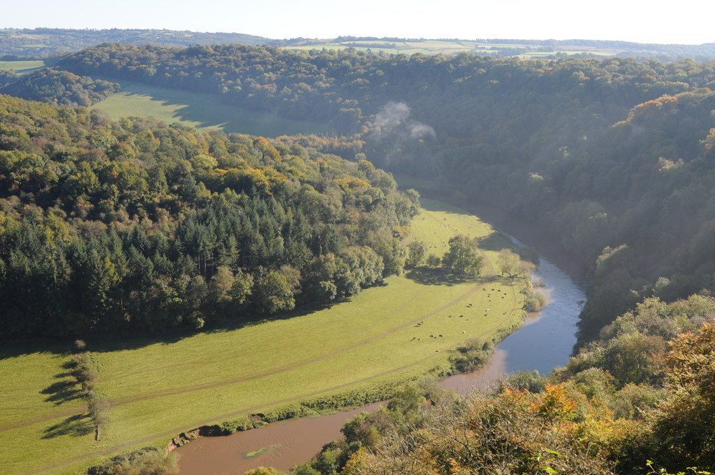
Put in at Lower Lydbrook, below Lydbrook rapid, and let the current carry you past Welsh Bicknor and its youth hostel into the wooded gorge under Coldwell Rocks. Below Yat Rock the Wye swings north in a loop of about 5 km round Huntsham Hill, under Huntsham Bridge and back south through the meadows to Symonds Yat. Take out on the left bank at Symonds Yat East, at the canoe centre's slipway, where a landing fee is charged. Do not overshoot: the rapids start just downstream.
It is 10.4 km one way; allow about 2¼ hours in a canoe or kayak and 3 on a paddleboard, less when the river is up. The grade is Easy: moving water with a few riffles but no weirs. Keep to the deeper water and give anglers a wide berth.
The Wye has a public right of navigation from Hay down, so no licence is needed. Check the Lydbrook gauge before you go: after heavy rain the river rises fast and runs strongly, and you should not paddle when it is high or in flood. Peregrines nest on the cliffs at Yat Rock in spring. Wear a buoyancy aid and check the conditions before you set off.
Route drawn by Global Adventurer along OpenStreetMap waterways (© OpenStreetMap contributors, ODbL), with figures worked out from it. Check the forecast and the ground on the day: paths change.
Good to know
- Through the wooded gorge under Coldwell Rocks and round the great loop below Yat Rock
- Public right of navigation from Hay down: no licence needed
- Start below Lydbrook rapid; take out above the rapids at Symonds Yat
- Peregrine falcons nest on the cliffs at Yat Rock
On the water
- Put in: Slipway 51.85010, -2.58761
- Take out: Slipway · parking charged 51.84101, -2.63904
- No locks or weirs on the way.
- River level: Lydbrook (River Wye). Check it before you go, and don't paddle when it is high.
- Rules and licences: Environment Agency. Check whether you need a licence before you go: on many inland waters in England and Wales you do, and Paddle UK membership includes one for many of them.
- Suits canoes, kayaks, paddleboards.
Getting there
Start: Lower Lydbrook. 51.85010, -2.58761
Places to stay nearby
Rooms in and around Lydney: Booking.com → Expedia →
Affiliate links: if you book, Global Adventurer earns a small commission at no cost to you.
Water levels, flow and the weather decide the day. The line and figures come from OpenStreetMap and our own checks; wear a buoyancy aid, check the river levels and the forecast, keep well clear of weirs and powered boats, and don't go out in flood.