Line © OpenStreetMap contributors (ODbL), checked by Global Adventurer.
The paddling route
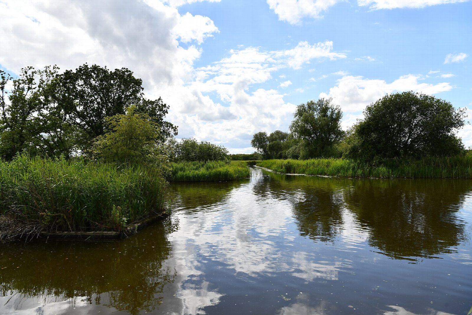
Put in at How Hill staithe, below the thatched How Hill House and the little Toad Hole Cottage museum, with the drainage mills of Turf Fen across the river. Paddle upstream on the Ant, narrow and winding between reedbeds and alder carr, to the church and staithe at Irstead, then out into Barton Broad, one of the largest of the Broads and a nature reserve. Turn in the broad and drift back to How Hill.
It is 6.6 km there and back; allow about 1½ hours in a canoe or kayak and 2 on a paddleboard. The grade is Easy: sheltered water and no portages, but the Ant is gently tidal, so it can run a little either way, and hire cruisers use it from spring to autumn. Keep to the right, stay near the reeds, and on the broad itself watch for sailing boats and keep to the marked channel when the wind gets up.
All canoes, kayaks and paddleboards on the Broads need a toll, annual or short-visit; Paddle UK members are covered without one. The How Hill car park is free and about 200 m from the staithe. Wear a buoyancy aid and check the conditions before you set off.
Route drawn by Global Adventurer along OpenStreetMap waterways (© OpenStreetMap contributors, ODbL), with figures worked out from it. Check the forecast and the ground on the day: paths change.
Good to know
- Up the reed-fringed Ant from How Hill to Barton Broad
- Past Irstead church and staithe
- Barton Broad is a nature reserve with a boardwalk on its east side
- Gently tidal, with little current
On the water
- Put in: How Hill staithe (bank) 52.71633, 1.50775
- No locks or weirs on the way.
- River level: Barton Broad (River Ant). Check it before you go, and don't paddle when it is high.
- Rules and licences: Broads Authority. Check whether you need a licence before you go: on many inland waters in England and Wales you do, and Paddle UK membership includes one for many of them.
- Suits canoes, kayaks, paddleboards.
Getting there
Start: How Hill staithe. 52.71633, 1.50775
Places to stay nearby
Rooms in and around Hoveton and Wroxham: Booking.com → Expedia →
Affiliate links: if you book, Global Adventurer earns a small commission at no cost to you.
Water levels, flow and the weather decide the day. The line and figures come from OpenStreetMap and our own checks; wear a buoyancy aid, check the river levels and the forecast, keep well clear of weirs and powered boats, and don't go out in flood.