Line © OpenStreetMap contributors (ODbL), checked by Global Adventurer.
The paddling route
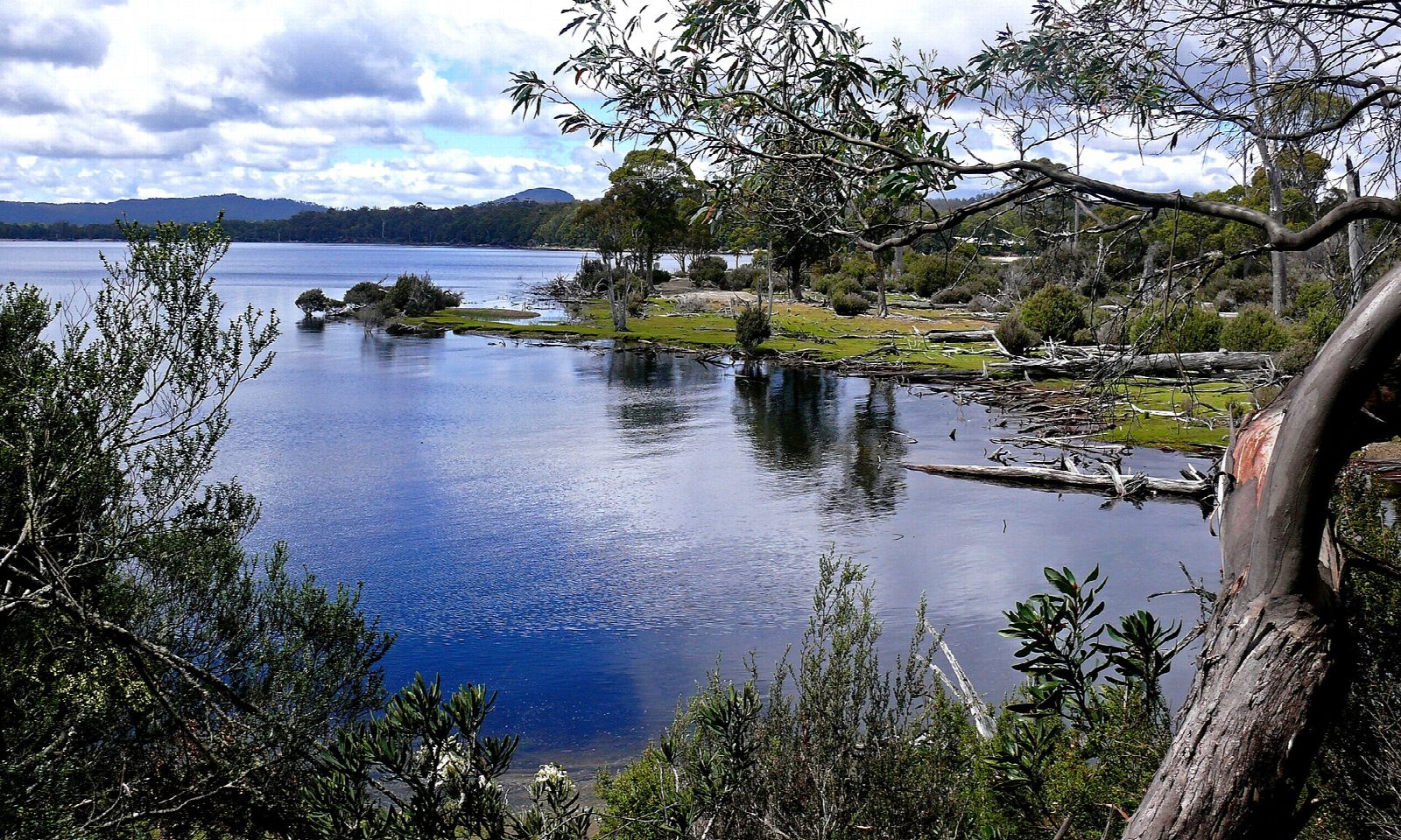
Launch from the boat ramp at Cynthia Bay, by the park visitor centre at the southern end of Lake St Clair, and paddle west round the shore of the bay. Cross the mouth of Platypus Bay, where the Cuvier and Hugel rivers come in at Watersmeet, and follow the western shore north under myrtle and eucalypt forest, with Mount Olympus rising across the lake. Turn when you have gone far enough, about 2½ kilometres up the shore, and come back.
It is 5.8 km there and back; allow about 1¼ hours in a kayak or canoe and 1¾ on a paddleboard. The grade is Easy, but this is an alpine lake: the water is cold all year, and wind can sweep down its 15-kilometre length and raise waves quickly. Stay close to the shore, and turn back early if the weather changes. Snow, rain and strong wind are possible in any month.
The lake lies in Cradle Mountain–Lake St Clair National Park, part of the Tasmanian Wilderness World Heritage Area, and a Tasmanian parks pass is needed. A passenger ferry runs from Cynthia Bay up the lake, so keep clear of the jetty. Platypus live in the lake: look for them at dawn and dusk. Wear a lifejacket and check the conditions before you set off.
Route drawn by Global Adventurer along OpenStreetMap waterways (© OpenStreetMap contributors, ODbL), with figures worked out from it. Check the forecast and the ground on the day: paths change.
Good to know
- On Australia's deepest lake, at the southern end of Cradle Mountain–Lake St Clair National Park
- From the boat ramp at Cynthia Bay round Platypus Bay and up the western shore
- The weather changes quickly: snow is possible in any month
- A national parks pass is needed
On the water
- Put in: Cynthia Bay Boat Ramp (slipway) -42.11554, 146.17991
- No locks or weirs on the way.
- About 5.6 km (3.5 mi) on open water, up to 272 m from the shore: wind and waves build quickly.
- Rules and licences: Tasmania Parks and Wildlife Service. Check whether you need a licence before you go: on many inland waters in England and Wales you do, and Paddle UK membership includes one for many of them.
- Suits canoes, kayaks, paddleboards.
Getting there
Start: Cynthia Bay boat ramp. -42.11554, 146.17991
Places to stay nearby
Rooms in and around Tasmania: Booking.com → Expedia → Hotels.com →
Affiliate links: if you book, Global Adventurer earns a small commission at no cost to you.
Water levels, flow and the weather decide the day. The line and figures come from OpenStreetMap and our own checks; wear a buoyancy aid, check the river levels and the forecast, keep well clear of weirs and powered boats, and don't go out in flood.