Line © OpenStreetMap contributors (ODbL), checked by Global Adventurer.
The paddling route
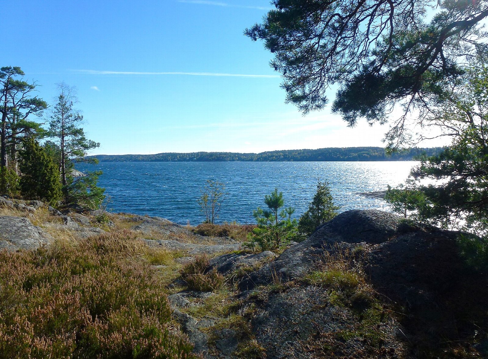
Put in from the sandy public beach at Erstaviksbadet, at the head of Erstaviken, and paddle south-east along the bay's north shore, past rocky points, pine woods and the villas of Solsidan. The south shore belongs to the Erstavik estate and is almost unbuilt, so for a bay so close to Stockholm it feels surprisingly wild. Carry on to the old forest of the Svärdsö nature reserve, turn off its shore and come back the same way.
It is 7.5 km there and back; allow about 1¾ hours in a canoe or kayak and 2 on a paddleboard. The grade is Moderate only because it is all open water: the bay is sheltered, there is no tide and the line keeps close to the north shore.
The right of public access lets you paddle and land, but not close to houses. In the Svärdsö reserve, the islets Torskholmsgrynnan and Furuholmen may not be approached within 100 m from 1 April to the end of June, and there is no fishing in the reserve from 15 April to 15 June. A south-easterly wind blows straight up the bay and builds a chop, motorboats use it in summer, and the Baltic is cold outside July and August. Erstaviksbadet station on the Saltsjöbanan is about 1.3 km from the beach. Wear a buoyancy aid and check the conditions before you set off.
Route drawn by Global Adventurer along OpenStreetMap waterways (© OpenStreetMap contributors, ODbL), with figures worked out from it. Check the forecast and the ground on the day: paths change.
Good to know
- Along a sheltered Baltic bay of the inner Stockholm archipelago, little built on
- From a public sandy beach to the old forest of the Svärdsö nature reserve
- Shallow sills at the bay's mouth keep its water unusually clean
- The shore belongs to the Erstavik estate, whose manor was finished in 1765
On the water
- Put in: Erstaviksbadet beach (beach) 59.26920, 18.26435
- No locks or weirs on the way.
- About 7.5 km (4.7 mi) on open water: wind and waves build quickly.
- Rules and licences: Nacka kommun. Check whether you need a licence before you go: on many inland waters in England and Wales you do, and Paddle UK membership includes one for many of them.
- Suits canoes, kayaks, paddleboards.
Getting there
Start: Erstaviksbadet beach. 59.26920, 18.26435
By train: Erstaviksbadet station is 1.3 km from the start.
Places to stay nearby
Rooms in and around Erstaviksbadet: Booking.com → Expedia → Hotels.com →
Affiliate links: if you book, Global Adventurer earns a small commission at no cost to you.
Water levels, flow and the weather decide the day. The line and figures come from OpenStreetMap and our own checks; wear a buoyancy aid, check the river levels and the forecast, keep well clear of weirs and powered boats, and don't go out in flood.