Line © OpenStreetMap contributors (ODbL), checked by Global Adventurer.
The paddling route
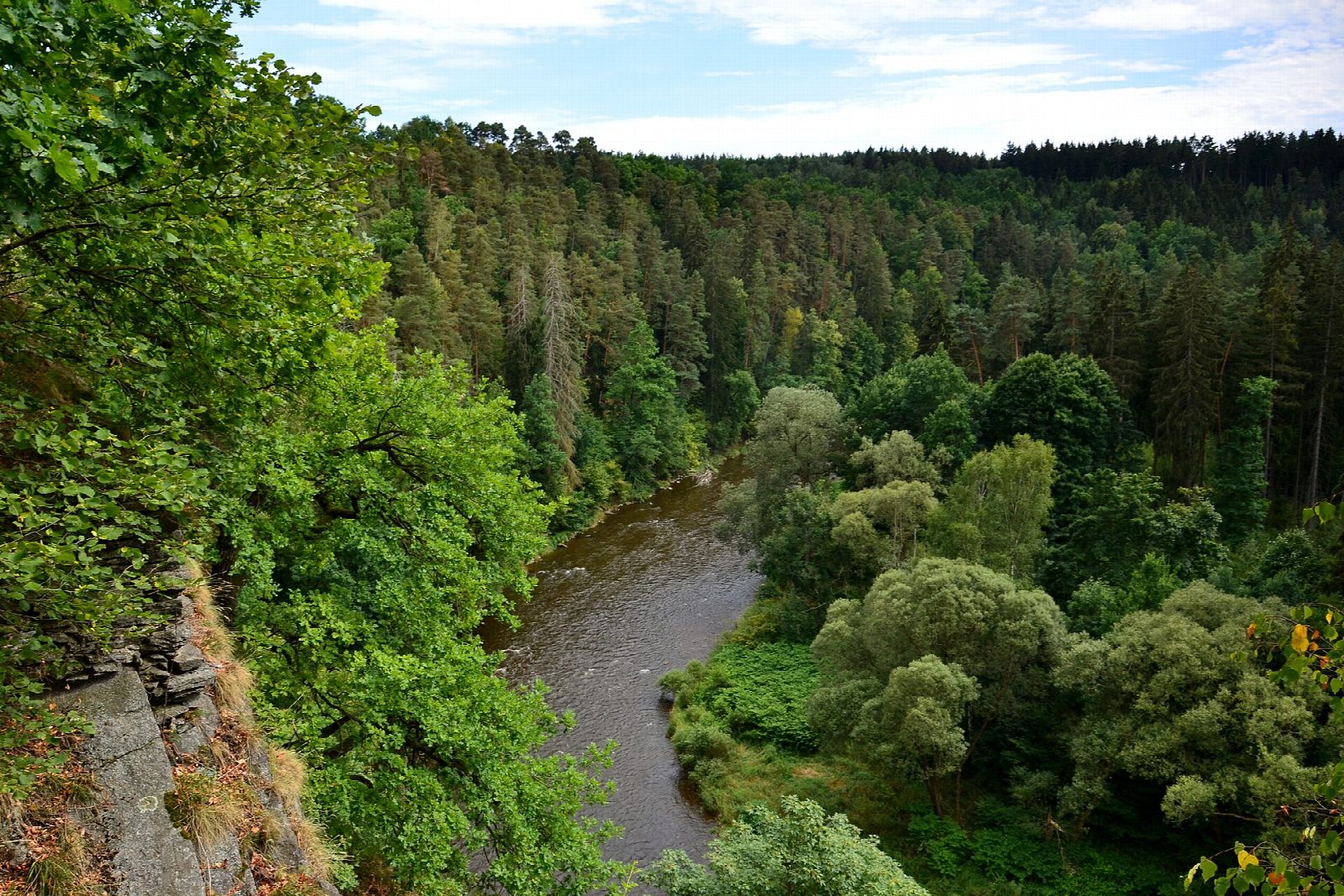
Put in at the canoe landing by the U Jatek footbridge, below the five weirs that loop round the old town of Český Krumlov, and float out past the brewery and the last houses. The river soon enters a wooded valley protected as the Vltava u Blanského lesa nature monument, curling under the ruins of Maškovec castle and past Rájov. It ends at the paddlers' landing above the weir at Zlatá Koruna, below the Cistercian abbey founded in 1263.
It is 12.5 km one way; allow about 2¾ hours in a canoe or kayak and 3½ on a paddleboard. The grade is Easy: a steady current, grade I at most, with small riffles and boulders but no weir on the line. Starting below the town avoids the weirs and boat chutes at Konopa, Na Rechlích, U Liry, Mrázkův mlýn and Jelení lávka, and the trip ends before the Zlatá Koruna weir.
No permit is needed, but the crew must not drink, and boating is banned when flood alert level 2 or 3 is declared. This is the busiest paddling river in the country: in July and August expect crowds and inexperienced raft crews, so spring and September are quieter. Watch for the POZOR JEZ boards and land in good time at Zlatá Koruna, where the station is a short walk away. Wear a buoyancy aid and check the conditions before you set off.
Route drawn by Global Adventurer along OpenStreetMap waterways (© OpenStreetMap contributors, ODbL), with figures worked out from it. Check the forecast and the ground on the day: paths change.
Good to know
- Starts below Český Krumlov's five town weirs and ends above the Zlatá Koruna weir: no weir on the line
- Through the wooded Vltava valley, a nature monument below the ruined Maškovec castle
- Ends at Zlatá Koruna, a Cistercian abbey founded in 1263
- The most paddled river stretch in the Czech Republic, kept flowing by releases from the Lipno dam
On the water
- Put in: Český Krumlov (canoe launch) 48.81400, 14.32082
- Take out: Zlatá Koruna (canoe launch) 48.85110, 14.36543
- No locks or weirs on the way.
- River level: Vltava, Spolí (Český Krumlov). Check it before you go, and don't paddle when it is high.
- Rules and licences: Povodí Vltavy. Check whether you need a licence before you go: on many inland waters in England and Wales you do, and Paddle UK membership includes one for many of them.
- Suits canoes, kayaks, paddleboards.
Getting there
Start: Český Krumlov, canoe landing by most U Jatek. 48.81400, 14.32082
By train: Český Krumlov station is 1.0 km from the start.
Places to stay nearby
Rooms in and around Český Krumlov: Booking.com → Expedia → Hotels.com →
Affiliate links: if you book, Global Adventurer earns a small commission at no cost to you.
Water levels, flow and the weather decide the day. The line and figures come from OpenStreetMap and our own checks; wear a buoyancy aid, check the river levels and the forecast, keep well clear of weirs and powered boats, and don't go out in flood.