Line © OpenStreetMap contributors (ODbL), checked by Global Adventurer.
The paddling route
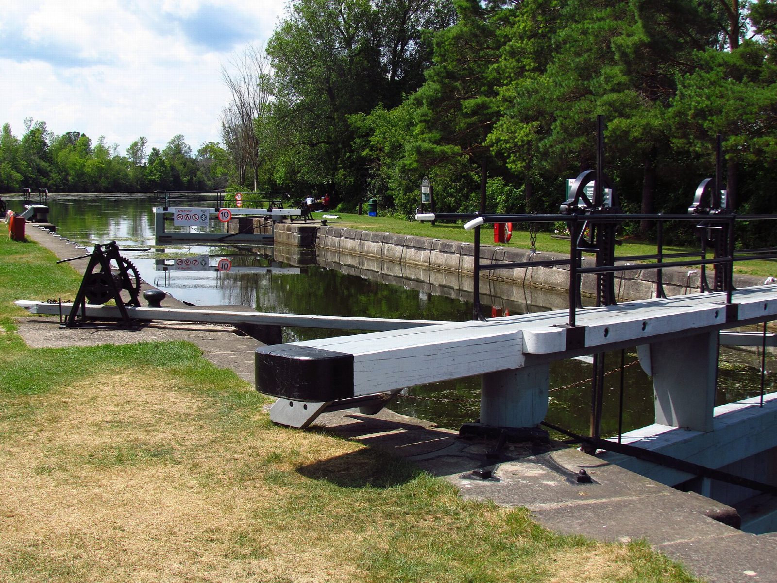
Put in at the slipway below the Merrickville Locks, by the stone blockhouse in the village, and paddle north down the Rideau, a river made navigable by the canal builders in the 1830s and now a UNESCO World Heritage Site. The river runs wide and slow between fields and woods to Clowes Lock, then through the hamlet of Andrewsville to the two Nicholsons Locks, where the canal takes a short cut beside the dams. Below them the river meanders on to a long canal cut at Burritts Rapids; take out above the lock, by the lockstation car park.
It is 6 miles (9.7 km) one way; allow about 2¾ hours in a canoe or kayak and 3¼ on a paddleboard, including carrying round three locks. The grade is Easy: flat water, but keep well away from the dams beside each lock.
At each lock you can lock through with the boats, if you buy a lockage permit (charged by the foot of boat length), or carry round on the lockstation grounds, which most paddlers do. The locks are worked from May 15 to October 12 in 2026, from 10 am to 4 pm on weekdays in the autumn; out of hours and out of season, carry round. Motorboats and cruisers use the canal all season: keep to the right and stay clear of the lock approaches. Wear a lifejacket and check the conditions before you set off.
Route drawn by Global Adventurer along OpenStreetMap waterways (© OpenStreetMap contributors, ODbL), with figures worked out from it. Check the forecast and the ground on the day: paths change.
Good to know
- Down the Rideau Canal, a UNESCO World Heritage Site, from Merrickville to Burritts Rapids
- Through Clowes Lock and the two Nicholsons Locks, still worked by hand
- Lock through with a lockage permit, or carry round on the lockstation grounds
- Locks are staffed from mid-May to Thanksgiving (October 12 in 2026)
On the water
- Put in: Slipway 44.91854, -75.83515
- Take out: Car park 44.98141, -75.78705
- Lock: Clowes · 3.6 km (2.2 mi) from the start · through the lock, or carry round
- Lock: Upper Nicholson Locks · 4.3 km (2.7 mi) from the start · through the lock, or carry round
- Lock: Lower Nicholsons Lock · 4.7 km (2.9 mi) from the start · through the lock, or carry round
- Rules and licences: Parks Canada (Rideau Canal National Historic Site). Check whether you need a licence before you go: on many inland waters in England and Wales you do, and Paddle UK membership includes one for many of them.
- Suits canoes, kayaks, paddleboards.
Getting there
Start: Below Merrickville Locks. 44.91854, -75.83515
Places to stay nearby
Rooms in and around Smiths Falls: Booking.com → Expedia → Hotels.com →
Affiliate links: if you book, Global Adventurer earns a small commission at no cost to you.
Water levels, flow and the weather decide the day. The line and figures come from OpenStreetMap and our own checks; wear a buoyancy aid, check the river levels and the forecast, keep well clear of weirs and powered boats, and don't go out in flood.