Line © OpenStreetMap contributors (ODbL), checked by Global Adventurer.
The paddling route
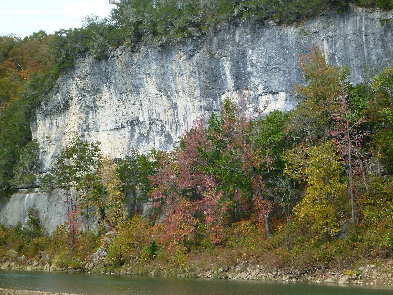
Put in at the lower river access at Tyler Bend, below the park's main visitor center, and float down the middle Buffalo, which runs free, without a dam, for 151 miles. The river swings in wide bends under grey limestone bluffs, with long quiet pools between gravel bars and easy riffles, past the access at Grinders Ferry by the Highway 65 bridge, to the river access at the small village of Gilbert.
It is 5.4 miles (8.7 km) one way, the same as the Park Service's mileage chart. Paddling steadily that is about 2 hours in a canoe or kayak and 2½ on a paddleboard; drifting with stops for swimming takes longer, as the river runs at about 2 mph. The grade is Easy: there are riffles but no rapids at normal levels. You need a shuttle, which outfitters run.
The Buffalo is fed by rain, so it changes from week to week: the Park Service treats more than 8,000 cubic feet per second at the Highway 65 gauge as unsafe, and in dry spells you will scrape over the riffles. Watch for fallen trees on the outside of bends. There is no fee to use the river. Glass is banned within 100 ft of the river, coolers must be sealed and foam coolers are not allowed. Wear a life jacket and check the conditions before you set off.
Route drawn by Global Adventurer along OpenStreetMap waterways (© OpenStreetMap contributors, ODbL), with figures worked out from it. Check the forecast and the ground on the day: paths change.
Good to know
- A gentle middle stretch of the free-flowing Buffalo National River
- Under the limestone bluffs at Tyler Bend, past Grinders Ferry, to the village of Gilbert
- Riffles but no rapids at normal levels; the river is rainfall-fed and drops in dry spells
- No entry or river fees; life jackets must be carried for everyone, and worn by children 12 and under
On the water
- Put in: Tyler Bend River Access Point Lower (slipway) 35.98990, -92.76275
- Take out: Gilbert River Access Point (slipway) 35.98671, -92.71495
- No locks or weirs on the way.
- Rules and licences: National Park Service (Buffalo National River). Check whether you need a licence before you go: on many inland waters in England and Wales you do, and Paddle UK membership includes one for many of them.
- Suits canoes, kayaks, paddleboards.
Getting there
Start: Tyler Bend river access. 35.98990, -92.76275
Places to stay nearby
Rooms in and around Ozarks: Booking.com → Expedia → Hotels.com →
Affiliate links: if you book, Global Adventurer earns a small commission at no cost to you.
Water levels, flow and the weather decide the day. The line and figures come from OpenStreetMap and our own checks; wear a buoyancy aid, check the river levels and the forecast, keep well clear of weirs and powered boats, and don't go out in flood.