Line © OpenStreetMap contributors (ODbL), checked by Global Adventurer.
The paddling route
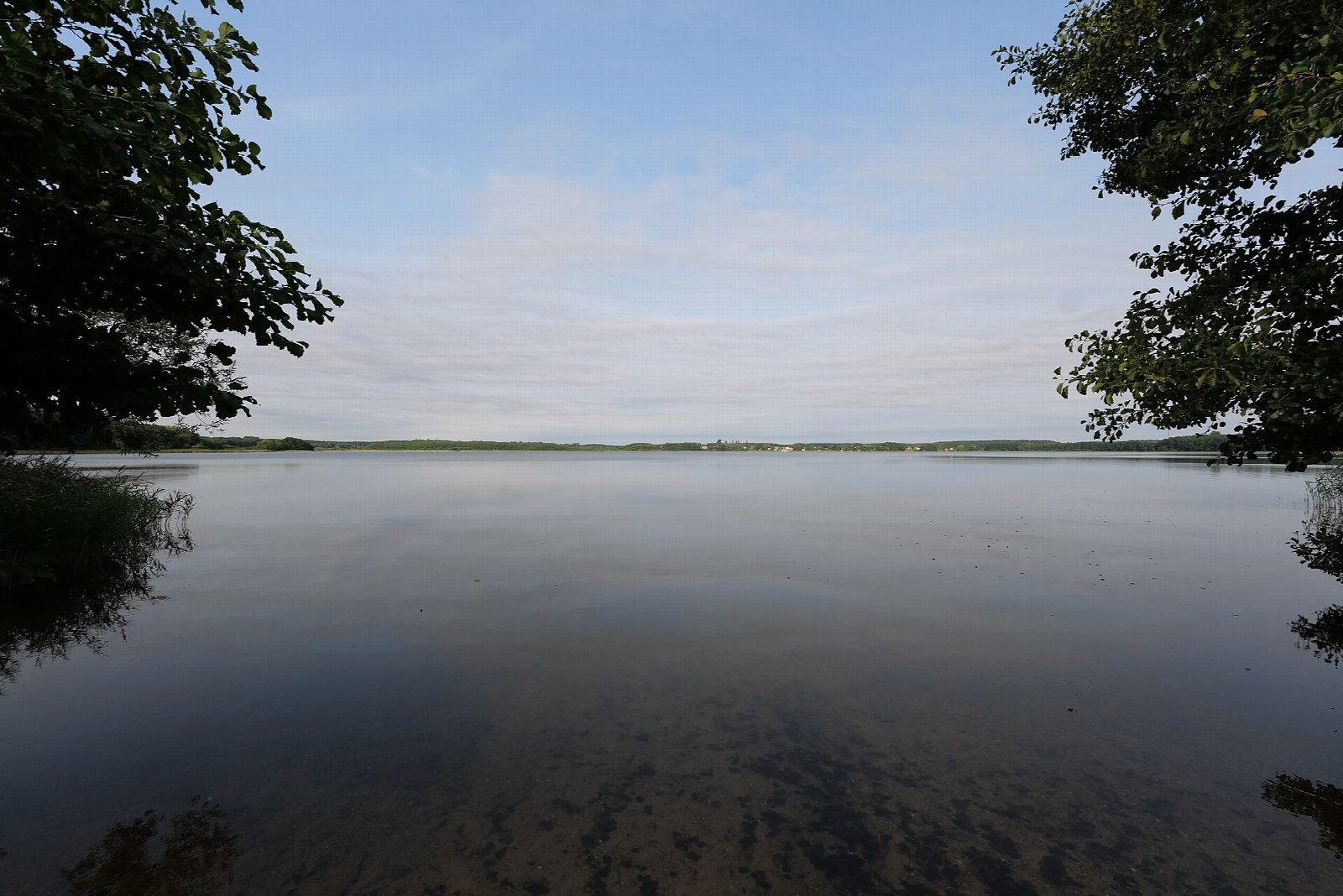
Put in at the national park's own canoe launch by the bathing place in Kratzeburg and cross the Käbelicksee, following the marked channel to where the Havel leaves the lake. Only a few kilometres from its source, the river here is a slow, narrow stream winding between reeds, alder and pine, opening out into the Granziner See and the small lakes beyond. Ospreys, white-tailed eagles, cranes and kingfishers live along it. Turn at the old mill at Granzin, where the river below is closed to boats and paddlers going further have to use a hand-pushed boat railway, and come back the same way.
It is 11.4 km there and back; allow about 2½ hours in a canoe or kayak and 3¼ on a paddleboard. The grade is Easy: still lakes and a river with almost no current, which the park says can be paddled both ways.
No permit is needed, but this is a national park. Land only at the signed rest places and launch sites, keep 20 m from birds and reed beds, follow the green buoys and keep out of water marked with yellow ones. No fires, and park only in car parks. In dry summers fire warnings can close the lakes at short notice. Wear a buoyancy aid and check the conditions before you set off.
Route drawn by Global Adventurer along OpenStreetMap waterways (© OpenStreetMap contributors, ODbL), with figures worked out from it. Check the forecast and the ground on the day: paths change.
Good to know
- Across the Käbelicksee and down the young Havel, a few kilometres from its source
- One of only two paddling routes in Müritz National Park, closed to motorboats
- Turns at the Granziner Mühle, where the river beyond is closed to boats
- Ospreys, white-tailed eagles, cranes and kingfishers live along the route
On the water
- Put in: Kratzeburg Badestelle (canoe launch) 53.42532, 12.94887
- No locks or weirs on the way.
- Rules and licences: Nationalparkamt Müritz. Check whether you need a licence before you go: on many inland waters in England and Wales you do, and Paddle UK membership includes one for many of them.
- Suits canoes, kayaks, paddleboards.
Getting there
Start: Kratzeburg, canoe launch at the bathing place. 53.42532, 12.94887
By train: Kratzeburg station is 0.5 km from the start.
Places to stay nearby
Rooms in and around Kratzeburg: Booking.com → Expedia → Hotels.com →
Affiliate links: if you book, Global Adventurer earns a small commission at no cost to you.
Water levels, flow and the weather decide the day. The line and figures come from OpenStreetMap and our own checks; wear a buoyancy aid, check the river levels and the forecast, keep well clear of weirs and powered boats, and don't go out in flood.