Line © OpenStreetMap contributors (ODbL), checked by Global Adventurer.
The paddling route
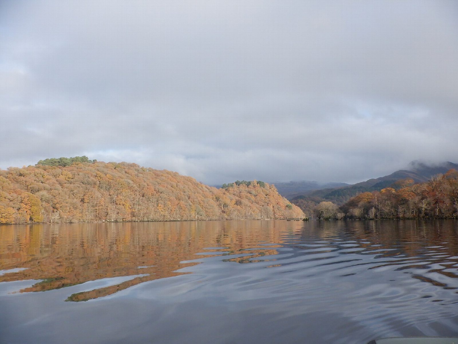
Launch from the beach at Milarrochy Bay, by the National Park's free car park, and follow the shore south round Creag Mhor and Arrochymore Point. A crossing of about 400 m of open water brings you to the North Jetty on Inchcailloch, an island of oak woods in the Loch Lomond National Nature Reserve, with a ruined church and an old burial ground. The line goes clockwise round it: outside little Clairinsh to the south-east, round the southern tip, past the sandy bay at Port Bawn, where you can also land, up the west side, and back between Inchfad and the shore.
It is 6.9 km round; allow about 1½ hours in a canoe or kayak and 2 on a paddleboard, plus time ashore. The grade is Moderate: the crossings are short and you are never more than about 400 m from land, but this is a big loch, the wind can rise quickly, and the water is cold all year. Keep together, stay near the shore in any wind, and watch for motor boats running out of Balmaha.
No registration is needed for craft without an engine. Under the loch's byelaws, children under 16 must wear a buoyancy aid or life jacket. Wear a buoyancy aid and check the conditions before you set off.
Route drawn by Global Adventurer along OpenStreetMap waterways (© OpenStreetMap contributors, ODbL), with figures worked out from it. Check the forecast and the ground on the day: paths change.
Good to know
- Inchcailloch is part of the Loch Lomond National Nature Reserve, with oak woods and an old burial ground
- Landings at the North Jetty and the beach at Port Bawn
- Along the Highland Boundary Fault, which the islands follow
- No registration is needed for craft without a motor
On the water
- Put in: Milarrochy Bay Picnic Area (car park) 56.09655, -4.55586
- No locks or weirs on the way.
- About 6.7 km (4.2 mi) on open water, up to 410 m from the shore: wind and waves build quickly.
- Rules and licences: Loch Lomond & The Trossachs National Park. Check whether you need a licence before you go: on many inland waters in England and Wales you do, and Paddle UK membership includes one for many of them.
- Suits canoes, kayaks, paddleboards.
Getting there
Start: Milarrochy Bay. 56.09655, -4.55586
Places to stay nearby
Rooms in and around Balloch: Booking.com → Expedia →
Affiliate links: if you book, Global Adventurer earns a small commission at no cost to you.
Water levels, flow and the weather decide the day. The line and figures come from OpenStreetMap and our own checks; wear a buoyancy aid, check the river levels and the forecast, keep well clear of weirs and powered boats, and don't go out in flood.