Line © OpenStreetMap contributors (ODbL), checked by Global Adventurer.
The paddling route
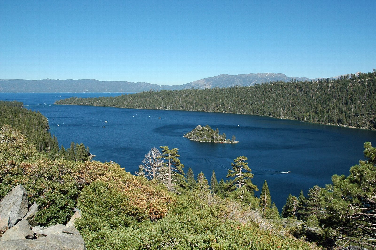
Launch from the sand at Baldwin Beach, the Forest Service beach on Highway 89 north-west of South Lake Tahoe, and paddle north-west along the shore past a line of private piers to Eagle Point. Round the point into the mouth of Emerald Bay, then follow the bay west between steep forested slopes to Fannette Island, the only island in Lake Tahoe, with the stone ruin of a tea house on its top. Go round it and on to the beach below Vikingsholm, the Scandinavian-style mansion at the head of the bay, before coming back the same way.
It is 6.9 miles (11.1 km) there and back; allow about 2½ hours in a canoe or kayak and 3¼ on a paddleboard. The grade is Moderate: you stay within about 1,100 ft (330 m) of the shore, but this is a big lake and the wind often rises in the afternoon, so go early and come back before it builds.
The speed limit is 5 mph within 600 ft of the shore, but Emerald Bay is busy with motorboats in summer. Fannette Island is closed to landing in April and May for nesting wildlife. Clean, drain and dry your boat before you launch: Lake Tahoe's free Tahoe Keepers scheme shows paddlers how. Baldwin Beach parking is seasonal, from mid-May to mid-October. Wear a life jacket and check the conditions before you set off.
Route drawn by Global Adventurer along OpenStreetMap waterways (© OpenStreetMap contributors, ODbL), with figures worked out from it. Check the forecast and the ground on the day: paths change.
Good to know
- Along Lake Tahoe's south-west shore from Baldwin Beach to the mouth of Emerald Bay
- Round Fannette Island, the only island in Lake Tahoe, to the beach below Vikingsholm
- 5 mph limit within 600 ft of the shore all round the lake
- Fannette Island is closed in April and May for nesting wildlife
On the water
- Put in: Baldwin Beach (bank) 38.94460, -120.06980
- No locks or weirs on the way.
- About 6.9 mi (11.1 km) on open water, up to 328 m from the shore: wind and waves build quickly.
- Rules and licences: California State Parks (Emerald Bay), USDA Forest Service, Lake Tahoe Basin. Check whether you need a licence before you go: on many inland waters in England and Wales you do, and Paddle UK membership includes one for many of them.
- Suits canoes, kayaks, paddleboards.
Getting there
Start: Baldwin Beach. 38.94460, -120.06980
Places to stay nearby
Rooms in and around Lake Tahoe: Booking.com → Expedia → Hotels.com →
Affiliate links: if you book, Global Adventurer earns a small commission at no cost to you.
Water levels, flow and the weather decide the day. The line and figures come from OpenStreetMap and our own checks; wear a buoyancy aid, check the river levels and the forecast, keep well clear of weirs and powered boats, and don't go out in flood.