Line © OpenStreetMap contributors (ODbL), checked by Global Adventurer.
The paddling route
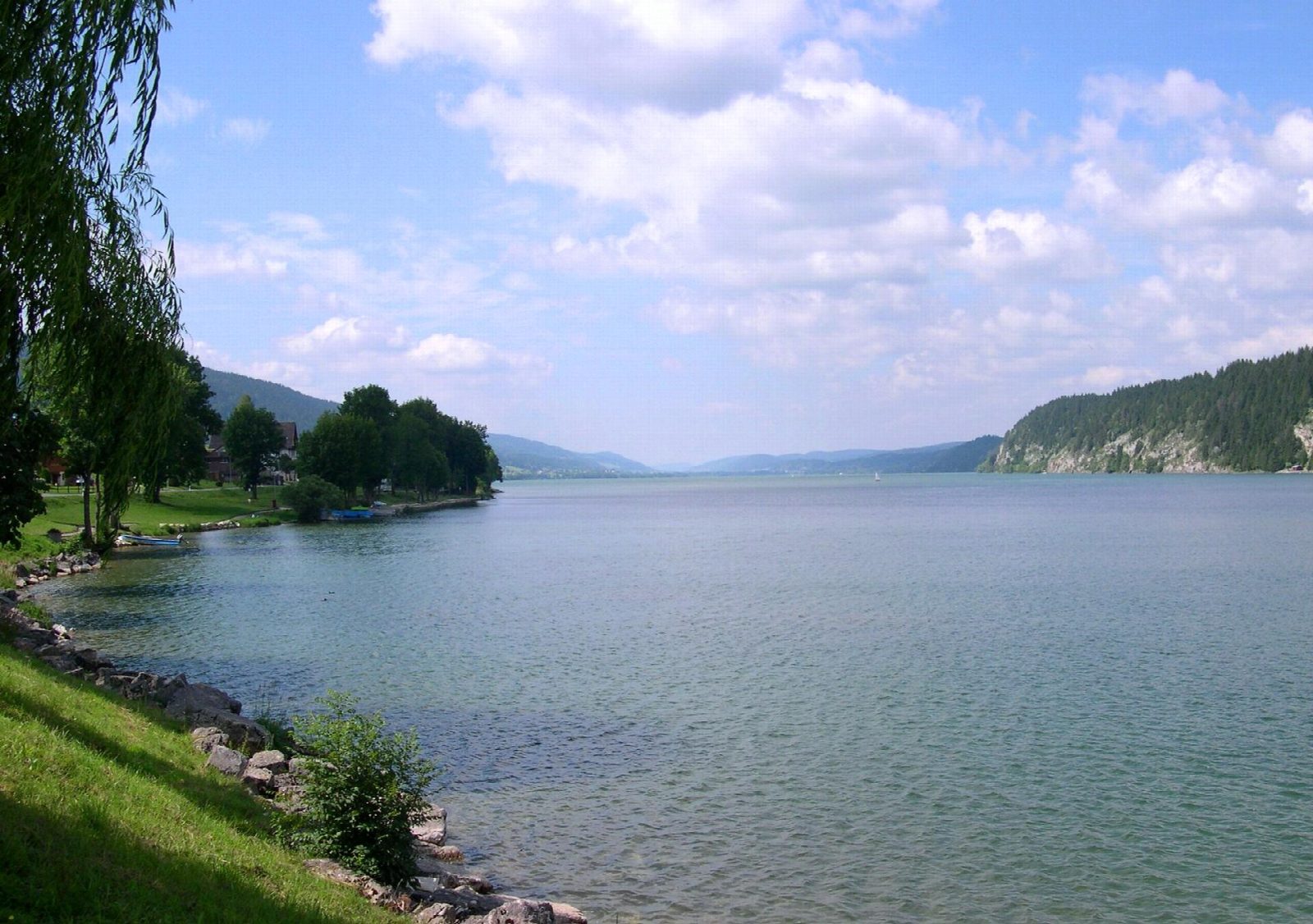
Put in from the floating dock at the public beach behind the town hall in L'Abbaye and follow the east shore of Lac de Joux north-east, with meadows and wooded slopes of the Vallée de Joux above you. At the Baie du Pont, at the head of the lake, turn and come back along the north-west shore before crossing the lake, here about a kilometre wide, back to L'Abbaye.
It is 5 km round; allow about an hour in a canoe or kayak and 1½ on a paddleboard. The grade is Easy: a sheltered lake with no current, though the crossing takes you about 500 m from the shore.
No licence is needed for a canoe, kayak or paddleboard on Swiss lakes, but the craft must carry the owner's name and address, and beyond 300 m from the shore everyone must have a buoyancy aid. Motorboats, water-skiers and wakeboarders also use the lake in summer: they must slow down near the shore, but wear something bright and cross quickly at right angles. Keep out of reed beds and any zone marked with yellow buoys. The lake lies at 1,004 m: the water is cold outside high summer, the valley funnels the wind along the lake, and in cold winters it freezes over. Wear a buoyancy aid and check the conditions before you set off.
Route drawn by Global Adventurer along OpenStreetMap waterways (© OpenStreetMap contributors, ODbL), with figures worked out from it. Check the forecast and the ground on the day: paths change.
Good to know
- The largest lake in the Jura mountains, at 1,004 m
- Along the east shore to the Baie du Pont and back across the lake
- In cold winters the whole lake freezes into a vast natural skating rink
- Ice cut on neighbouring Lac Brenet was once sent by rail to Swiss cities and Paris
On the water
- Put in: Slipway 46.64864, 6.31629
- No locks or weirs on the way.
- About 5.0 km (3.1 mi) on open water, up to 486 m from the shore: wind and waves build quickly.
- River level: Lac de Joux, Le Pont (lake level). Check it before you go, and don't paddle when it is high.
- Rules and licences: Canton de Vaud. Check whether you need a licence before you go: on many inland waters in England and Wales you do, and Paddle UK membership includes one for many of them.
- Suits canoes, kayaks, paddleboards.
Getting there
Start: Plage de L'Abbaye. 46.64864, 6.31629
By train: Le Pont station is 2.3 km from the start.
Places to stay nearby
Rooms in and around Le Pont: Booking.com → Expedia → Hotels.com →
Affiliate links: if you book, Global Adventurer earns a small commission at no cost to you.
Water levels, flow and the weather decide the day. The line and figures come from OpenStreetMap and our own checks; wear a buoyancy aid, check the river levels and the forecast, keep well clear of weirs and powered boats, and don't go out in flood.