Line © OpenStreetMap contributors (ODbL), checked by Global Adventurer.
The paddling route
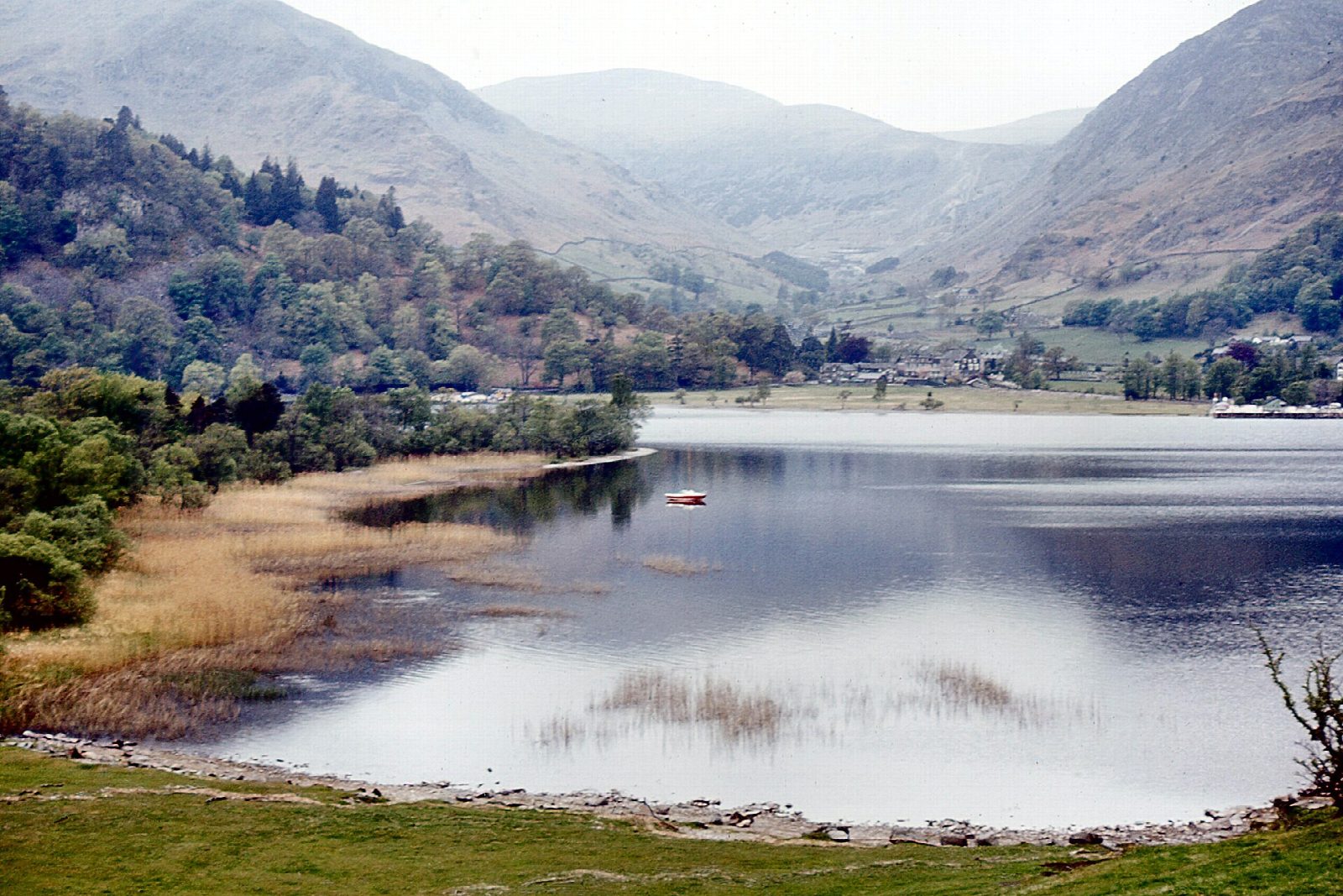
Launch from the beach beside Glenridding pier, by the pay car park the Ullswater steamers run, and keep well clear of the pier itself. Cross the head of the lake past the islets of Cherry Holm and Wall Holm to the wooded east shore, then follow it north to Silver Point and round into Silver Bay under Place Fell. Return down the lake past the west side of Wall Holm, with Helvellyn's ridges and the Patterdale fells ahead.
It is 4 km round; allow about an hour in a canoe or kayak and 1¼ on a paddleboard. The grade is Easy: short, and never more than about 300 m from a shore. Even so, Ullswater is a big lake: wind funnels down from the fells, gusts can arrive without warning, and the water is cold all year. The steamers sail from Glenridding through the day, so watch for them crossing your line near the pier and give them plenty of room.
No permit is needed for canoes, kayaks or paddleboards on Ullswater; powered craft have a 10 mph limit. The Glenridding car park charges and fills early on summer weekends. Wear a buoyancy aid and check the conditions before you set off.
Route drawn by Global Adventurer along OpenStreetMap waterways (© OpenStreetMap contributors, ODbL), with figures worked out from it. Check the forecast and the ground on the day: paths change.
Good to know
- Across the head of Ullswater to the wooded east shore and Silver Point
- Past the islets of Cherry Holm and Wall Holm
- Into Silver Bay under Place Fell
- The Ullswater steamers sail from Glenridding pier: keep clear of them
On the water
- Put in: Ullswater Steamers (car park) · parking charged 54.54410, -2.94490
- No locks or weirs on the way.
- About 3.9 km (2.4 mi) on open water, up to 295 m from the shore: wind and waves build quickly.
- Suits canoes, kayaks, paddleboards.
Getting there
Start: Glenridding. 54.54410, -2.94490
Places to stay nearby
Rooms in and around Penrith (North Lakes): Booking.com → Expedia →
Affiliate links: if you book, Global Adventurer earns a small commission at no cost to you.
Water levels, flow and the weather decide the day. The line and figures come from OpenStreetMap and our own checks; wear a buoyancy aid, check the river levels and the forecast, keep well clear of weirs and powered boats, and don't go out in flood.