Line © OpenStreetMap contributors (ODbL), checked by Global Adventurer.
The paddling route
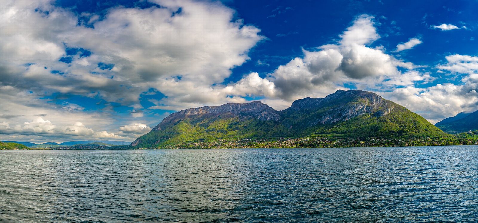
Put in at the free municipal slipway in Talloires bay and paddle west out of the bay, under the steep wooded flank of the Roc de Chère. This limestone ridge between Talloires and Menthon has been a national nature reserve since 1977, with box, Montpellier maple and other southern plants clinging to its cliffs. Round its western point and follow the shore north, past the protected char spawning shallows, to the free slipway at the port of Menthon-Saint-Bernard, with the Château de Menthon above the village. Turn there and come back the same way.
It is 7.5 km there and back; allow about 1¾ hours in a canoe or kayak and 2 on a paddleboard. The grade is Moderate because it is all open lake, but the line stays close to the shore throughout.
On Lake Annecy short kayaks, sit-on-tops and most paddleboards must stay inside the shore band marked by yellow buoys, in daylight only. A buoyancy aid is compulsory. From 30 April to 1 October boats may not enter the buoyed bathing areas, so launch from the slipways beside the beaches, and keep out of the reed beds all year. Watch the storm lights round the lake: when the orange light flashes, small craft must come ashore. Afternoon winds can raise a steep chop. Wear a buoyancy aid and check the conditions before you set off.
Route drawn by Global Adventurer along OpenStreetMap waterways (© OpenStreetMap contributors, ODbL), with figures worked out from it. Check the forecast and the ground on the day: paths change.
Good to know
- Round the Roc de Chère, a wooded ridge and national nature reserve since 1977
- From Talloires bay to the free slipway at Menthon-Saint-Bernard
- The lake's clear water comes from the sewer ring built round it from the 1960s
- The shallows off the Roc de Chère are protected char spawning grounds
On the water
- Put in: Talloires, municipal slipway (slipway) 45.84020, 6.21050
- No locks or weirs on the way.
- About 7.5 km (4.7 mi) on open water, up to 134 m from the shore: wind and waves build quickly.
- River level: Lac d'Annecy level (DREAL Auvergne-Rhône-Alpes). Check it before you go, and don't paddle when it is high.
- Rules and licences: Préfecture de la Haute-Savoie. Check whether you need a licence before you go: on many inland waters in England and Wales you do, and Paddle UK membership includes one for many of them.
- Suits canoes, kayaks, paddleboards.
Getting there
Start: Talloires, municipal slipway. 45.84020, 6.21050
Places to stay nearby
Rooms in and around Talloires: Booking.com → Expedia → Hotels.com →
Affiliate links: if you book, Global Adventurer earns a small commission at no cost to you.
Water levels, flow and the weather decide the day. The line and figures come from OpenStreetMap and our own checks; wear a buoyancy aid, check the river levels and the forecast, keep well clear of weirs and powered boats, and don't go out in flood.