Line © OpenStreetMap contributors (ODbL), checked by Global Adventurer.
The paddling route
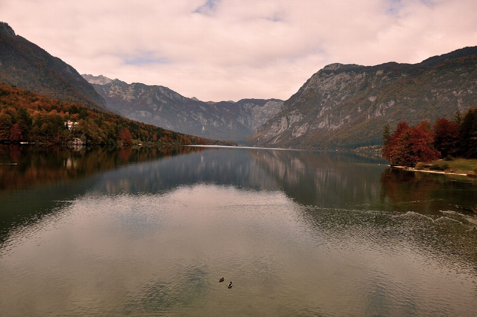
Put in at the marked entry point on the lake side of the old stone bridge at Ribčev Laz, beside the church of St John the Baptist, and paddle west along the south shore of Lake Bohinj. The lake fills a glacial basin in Triglav National Park, with the limestone walls of the Julian Alps rising straight out of clear, green water. Keep well out from the beaches as you pass the Pod Voglom hostel, then follow the shore to the bay just short of the wooded headland of Naklova glava, which has its own entry point if you want to land, and turn back.
It is 5.2 km there and back; allow about 1¼ hours in a canoe or kayak and 1½ on a paddleboard. The grade is Easy: still water close to the shore, with no locks or carries.
Every craft needs the municipality's navigation permit, sold at the Turizem Bohinj information centres, and the lake is open to paddlers only from 1 March to 30 November. Launch and land only at the marked entry and exit points. The two passenger boats run down the middle of the lake: cross their line quickly if you must, and keep out of the buoyed bathing areas at Ukanc and Fužinski zaliv. The water is cold even in summer, and afternoon winds and storms build fast under the mountains. Wear a buoyancy aid and check the conditions before you set off.
Route drawn by Global Adventurer along OpenStreetMap waterways (© OpenStreetMap contributors, ODbL), with figures worked out from it. Check the forecast and the ground on the day: paths change.
Good to know
- A glacial lake 4.1 km long and up to 45 m deep, inside Triglav National Park
- Starts by the stone bridge and the medieval church of St John the Baptist at the lake's outlet
- Keep to the south shore: the two passenger boats run down the middle of the lake
- Launch and land only at the lake's marked entry and exit points
On the water
- Put in: Ribčev Laz, south end of the bridge (lake shore) 46.27795, 13.88605
- No locks or weirs on the way.
- About 5.2 km (3.2 mi) on open water, up to 174 m from the shore: wind and waves build quickly.
- River level: Sveti Duh (Lake Bohinj), level and water temperature. Check it before you go, and don't paddle when it is high.
- Rules and licences: Občina Bohinj, Triglav National Park. Check whether you need a licence before you go: on many inland waters in England and Wales you do, and Paddle UK membership includes one for many of them.
- Suits canoes, kayaks, paddleboards.
Getting there
Start: Ribčev Laz, south end of the bridge. 46.27795, 13.88605
Places to stay nearby
Rooms in and around Ribčev Laz: Booking.com → Expedia → Hotels.com →
Affiliate links: if you book, Global Adventurer earns a small commission at no cost to you.
Water levels, flow and the weather decide the day. The line and figures come from OpenStreetMap and our own checks; wear a buoyancy aid, check the river levels and the forecast, keep well clear of weirs and powered boats, and don't go out in flood.