Line © OpenStreetMap contributors (ODbL), checked by Global Adventurer.
The paddling route
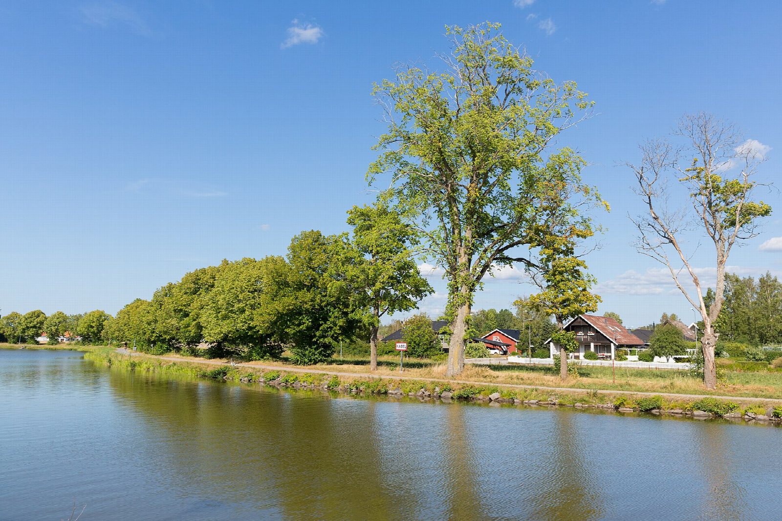
Put in from the bank by the guest harbour at Töreboda and paddle north along the Göta Canal, the great waterway dug across Sweden between 1810 and 1832. The canal runs straight and level between tree-lined towpaths and farmland, under two bridges, to Hajstorp, a little canal settlement with a café in the old lock-keeper's house and a memorial stone to the opening of the canal's western section in 1822. Turn above the locks and come back the same way.
It is 8.8 km there and back; allow about 2 hours in a canoe or kayak and 2½ on a paddleboard. The grade is Easy: still water with no locks to pass, as the canal company lists this as one of its lock-free stretches for canoes.
There is no canal fee for canoes, but canoes may not use the canal's locks, so do not paddle into the lock area at Hajstorp. In town, wait for the little Lina cable ferry to finish its crossing before you pass, and in summer move to the bank for the canal boats and passenger steamers. The boat season ends in late September; out of season the harbours are shut and winter works can affect the canal. Wear a buoyancy aid and check the conditions before you set off.
Route drawn by Global Adventurer along OpenStreetMap waterways (© OpenStreetMap contributors, ODbL), with figures worked out from it. Check the forecast and the ground on the day: paths change.
Good to know
- The Göta Canal took 22 years to build (1810-1832): 190 km long with 58 locks
- A lock-free reach with two bridges, from the canal company's own list of canoe stretches
- Turns above the Hajstorp locks, where the canal's western section was opened in 1822
- Canoes may not use the canal's locks: carry round them
On the water
- Put in: Töreboda guest harbour (quay) 58.71105, 14.12875
- No locks or weirs on the way.
- Rules and licences: AB Göta kanalbolag. Check whether you need a licence before you go: on many inland waters in England and Wales you do, and Paddle UK membership includes one for many of them.
- Suits canoes, kayaks, paddleboards.
Getting there
Start: Töreboda guest harbour. 58.71105, 14.12875
By train: Töreboda station is 0.6 km from the start.
Places to stay nearby
Rooms in and around Töreboda: Booking.com → Expedia → Hotels.com →
Affiliate links: if you book, Global Adventurer earns a small commission at no cost to you.
Water levels, flow and the weather decide the day. The line and figures come from OpenStreetMap and our own checks; wear a buoyancy aid, check the river levels and the forecast, keep well clear of weirs and powered boats, and don't go out in flood.