Line © OpenStreetMap contributors (ODbL), checked by Global Adventurer.
The paddling route
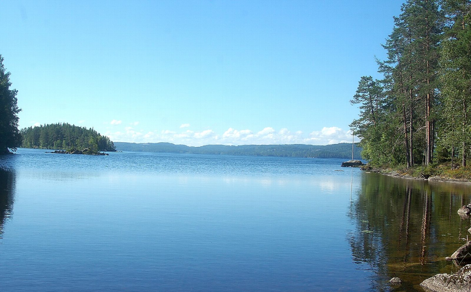
Put in at the slipway by the Glaskogen information centre at Lenungshammar and head north up the narrow southern arm of Övre Gla, past the campsite and under the road bridge. Beyond the narrows the lake opens into a sheltered basin ringed by pine and spruce, with rocky points, small islands and hardly a house in sight. Follow the east shore to the north bay, then come back down the west side, past the island, and return through the narrows to the start.
It is 7.7 km round; allow about 1¾ hours in a canoe or kayak and 2¼ on a paddleboard. The grade is Moderate only because it is all open lake: you are never far from the shore, there are no carries, and the route stays out of the big main body of the lake.
Glaskogen is a nature reserve, and the foundation that runs it asks every paddler who uses its fire sites, shelters or toilets to buy the Glaskogen card at the information centre. Four bird areas in the reserve are closed from 1 April to 31 August, and fires are allowed only at the marked sites. The main lake can turn rough quickly in wind, so turn back rather than heading out into it. Wear a buoyancy aid and check the conditions before you set off.
Route drawn by Global Adventurer along OpenStreetMap waterways (© OpenStreetMap contributors, ODbL), with figures worked out from it. Check the forecast and the ground on the day: paths change.
Good to know
- Glaskogen is Värmland's largest nature reserve: about 280 km² of forested hills and nearly 80 lakes
- Starts at Lenungshammar, the reserve's information centre and campsite
- Stays in the sheltered southern arm and basin of Övre Gla
- Forest Finns farmed here from the late 1500s by slash and burn
On the water
- Put in: Lenungshammar, slipway (slipway) 59.50853, 12.37152
- No locks or weirs on the way.
- About 7.7 km (4.8 mi) on open water, up to 155 m from the shore: wind and waves build quickly.
- Rules and licences: Länsstyrelsen Värmland, Stiftelsen Glaskogens naturreservat. Check whether you need a licence before you go: on many inland waters in England and Wales you do, and Paddle UK membership includes one for many of them.
- Suits canoes, kayaks, paddleboards.
Getting there
Start: Lenungshammar, slipway. 59.50853, 12.37152
Places to stay nearby
Rooms in and around Lenungshammar: Booking.com → Expedia → Hotels.com →
Affiliate links: if you book, Global Adventurer earns a small commission at no cost to you.
Water levels, flow and the weather decide the day. The line and figures come from OpenStreetMap and our own checks; wear a buoyancy aid, check the river levels and the forecast, keep well clear of weirs and powered boats, and don't go out in flood.