Line © OpenStreetMap contributors (ODbL), checked by Global Adventurer.
The paddling route
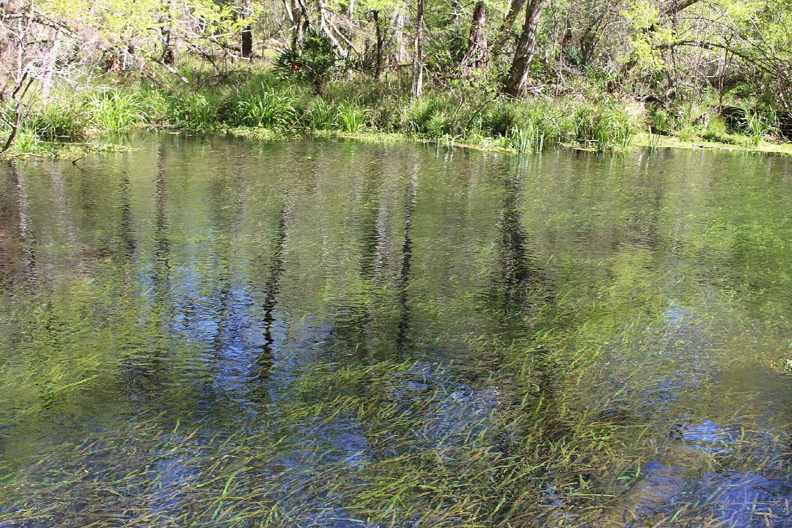
Launch at the North End of Ichetucknee Springs State Park, just below the headspring, and drift down the spring run past Cedar Head and Blue Hole springs. The river is fed by a string of springs at a steady 72°F, so clear that you can watch turtles and fish over the waving eelgrass, and it winds south through cypress, hardwood swamp and marsh. Pass Dampier's Landing and take out at the South Takeout by the South Entrance, the last landing inside the park.
It is 3.2 miles (5.2 km) one way, close to the state's figure of 3 miles; allow just over an hour in a canoe or kayak and about 1½ on a paddleboard, though the gentle current helps. The grade is Easy: the river is narrow and slow, but it flows, so you will need a ride back to the North End, by the summer shuttle or your own car.
The park charges $6 per vehicle, there is a launch fee at the North End, and paddlers must be on the river by 3 pm. Food and drink go in reusable containers only. Outside summer, inflatables may not launch from the North End unless they are Coast Guard-certified. The park closes when it is full on busy weekends, and the best paddling is between Labor Day and Memorial Day, when the tubers have gone. Wear a life jacket and check the conditions before you set off.
Route drawn by Global Adventurer along OpenStreetMap waterways (© OpenStreetMap contributors, ODbL), with figures worked out from it. Check the forecast and the ground on the day: paths change.
Good to know
- Crystal-clear spring water at 72°F all year, from the headspring to the park's last take-out
- Past Cedar Head and Blue Hole springs in a National Natural Landmark
- Paddlers must be on the river by 3 pm; food and drink in reusable containers only
- Best from Labor Day to Memorial Day, when the tubing crowds have gone
On the water
- Put in: North End Launch (slipway) · parking charged 29.98411, -82.76190
- Take out: South Takeout (landing stage) 29.95476, -82.78455
- No locks or weirs on the way.
- About 0.3 mi (0.5 km) on open water, up to 7 m from the shore: wind and waves build quickly.
- Rules and licences: Florida State Parks. Check whether you need a licence before you go: on many inland waters in England and Wales you do, and Paddle UK membership includes one for many of them.
- Suits canoes, kayaks, paddleboards.
Getting there
Start: North End launch. 29.98411, -82.76190
Places to stay nearby
Rooms in and around Florida Springs: Booking.com → Expedia → Hotels.com →
Affiliate links: if you book, Global Adventurer earns a small commission at no cost to you.
Water levels, flow and the weather decide the day. The line and figures come from OpenStreetMap and our own checks; wear a buoyancy aid, check the river levels and the forecast, keep well clear of weirs and powered boats, and don't go out in flood.