Line © OpenStreetMap contributors (ODbL), checked by Global Adventurer.
The paddling route
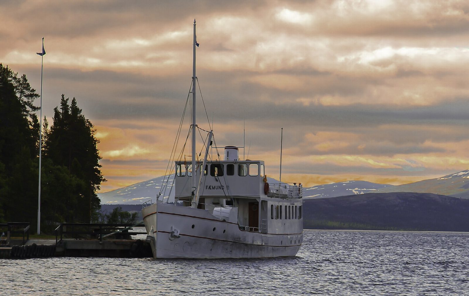
Put in from the shore by the rest area and car park at Synnervika, the northern landing of the old steamer Fæmund II, and paddle west along the bay's north shore to its reedy head. Come back along the forested south-west shore, slip between the shore and a small island into the sheltered southern lobe, and return across the mouth of the bay to the start, with the low, rounded fells of Femundsmarka on the skyline.
It is 4.2 km round; allow about an hour in a canoe or kayak and 1¼ on a paddleboard. The grade is Easy: the bay is sheltered and the line keeps near its shores. Femunden itself is 60 km long, and a southerly wind builds big waves on the open lake, so stay inside Synnervika and turn at its mouth.
Under Norway's right of access you may paddle the lake, pull your boat up on outfield shores for a short stop and leave it while you walk; ask before using private jetties. In summer the Fæmund II berths at Synnervika, daily from early June to mid-August and at weekends into September: keep clear of the quay and the bay mouth when she is due. Femunden lies at 662 m, its water is cold all year and ice can linger into June. Wear a buoyancy aid and check the conditions before you set off.
Route drawn by Global Adventurer along OpenStreetMap waterways (© OpenStreetMap contributors, ODbL), with figures worked out from it. Check the forecast and the ground on the day: paths change.
Good to know
- Round Synnervika, the sheltered bay at the north tip of Femunden
- Femunden is Norway's third-largest lake: 60 km long, at 662 m
- The steamer Fæmund II, built in 1905, sails from here in summer
- Femundsmarka National Park across the lake was protected in 1971
On the water
- Put in: Synnervika, shore by the rest area (lake shore) 62.41540, 11.88250
- No locks or weirs on the way.
- About 4.2 km (2.6 mi) on open water, up to 148 m from the shore: wind and waves build quickly.
- Rules and licences: Røros kommune. Check whether you need a licence before you go: on many inland waters in England and Wales you do, and Paddle UK membership includes one for many of them.
- Suits canoes, kayaks, paddleboards.
Getting there
Start: Synnervika, shore by the rest area. 62.41540, 11.88250
Places to stay nearby
Rooms in and around Synnervika: Booking.com → Expedia → Hotels.com →
Affiliate links: if you book, Global Adventurer earns a small commission at no cost to you.
Water levels, flow and the weather decide the day. The line and figures come from OpenStreetMap and our own checks; wear a buoyancy aid, check the river levels and the forecast, keep well clear of weirs and powered boats, and don't go out in flood.