Line © OpenStreetMap contributors (ODbL), checked by Global Adventurer.
The paddling route
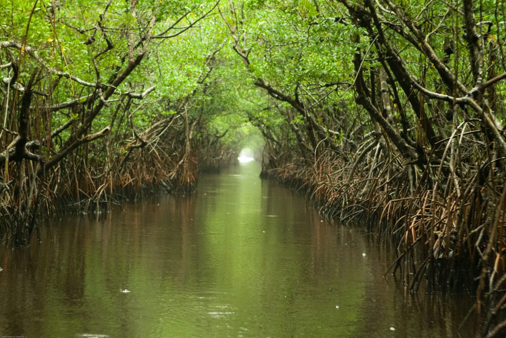
Put in at the Park Service canoe launch on the north side of US 41, the Tamiami Trail, where the Turner River leaves Big Cypress National Preserve. The river winds south under cypress and through open sawgrass, then into the mangroves of Everglades National Park, where in places it narrows into tunnels so tight you pull yourself along by the branches. Below the tunnels it widens through mangrove bays to its mouth on Chokoloskee Bay; take out on the Chokoloskee causeway, a short way west.
It is 9.1 miles (14.7 km) one way, close to the Park Service's 8.5 miles to Chokoloskee. At a steady pace that is about 3¼ hours in a canoe or kayak and 4¼ on a paddleboard, but the Park Service allows 4½ to 7 hours, because the tunnels are slow going. The grade is Moderate: it is a long day with a shuttle to arrange, and the lower river is tidal, so check the tides at Chokoloskee and plan to ride the ebb.
The river can be impassable when the water is very high or very low: ask at the Big Cypress visitor center first. Alligators live along the river; give them plenty of room. Airboats cross the trail in the lower prairie and powerboats use the lower river. Wear a life jacket and check the conditions before you set off.
Route drawn by Global Adventurer along OpenStreetMap waterways (© OpenStreetMap contributors, ODbL), with figures worked out from it. Check the forecast and the ground on the day: paths change.
Good to know
- From cypress and sawgrass in Big Cypress National Preserve to the mangroves of Everglades National Park
- Through mangrove tunnels where you pull yourself along by the branches
- Tidal in its lower reaches; ends on Chokoloskee Bay
- Alligators live along the river: keep your distance
On the water
- Put in: Kayak slipway (slipway) 25.89146, -81.27067
- Take out: Chokoloskee causeway (Smallwood Drive) (bank) 25.82120, -81.35940
- No locks or weirs on the way.
- About 0.4 mi (0.7 km) on open water: wind and waves build quickly.
- Rules and licences: National Park Service (Big Cypress National Preserve, Everglades National Park). Check whether you need a licence before you go: on many inland waters in England and Wales you do, and Paddle UK membership includes one for many of them.
- Suits canoes, kayaks, paddleboards.
Getting there
Start: Turner River canoe launch, US 41. 25.89146, -81.27067
Places to stay nearby
Rooms in and around Turner River canoe launch: Booking.com → Expedia → Hotels.com →
Affiliate links: if you book, Global Adventurer earns a small commission at no cost to you.
Water levels, flow and the weather decide the day. The line and figures come from OpenStreetMap and our own checks; wear a buoyancy aid, check the river levels and the forecast, keep well clear of weirs and powered boats, and don't go out in flood.