Line © OpenStreetMap contributors (ODbL), checked by Global Adventurer.
The paddling route
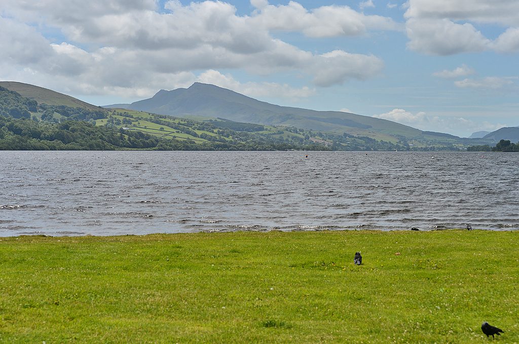
Launch from the slipway on the public foreshore at the Bala end of Llyn Tegid, beside the pay car park, and paddle south-west along the eastern shore, with the Bala Lake Railway running beside the lake road. Off Llangower, about 4 km down, cross the narrow lake and come back along the western shore, under wooded slopes, with the Aran ridge rising at the head of the lake behind you.
It is 8.3 km round; allow about 2 hours in a canoe or kayak and 2½ on a paddleboard. The grade is Moderate: you are never more than about 400 m from land, but this is open water and the prevailing south-westerly blows straight down the length of the lake, building waves by the time it reaches Bala. Paddle into the wind on the way out, keep near the shore, and turn back early if it rises.
Every craft needs a watersports permit from the Eryri National Park Authority: for a canoe or paddleboard £5 a day, £20 a week or £40 a year, paid at the foreshore car park machine. Powered boats are not allowed, apart from electric ones, so the lake is quiet. Wear a buoyancy aid and check the conditions before you set off.
Route drawn by Global Adventurer along OpenStreetMap waterways (© OpenStreetMap contributors, ODbL), with figures worked out from it. Check the forecast and the ground on the day: paths change.
Good to know
- The largest natural lake in Wales, about 6 km long
- Under the Aran ridge, with the little Bala Lake Railway along the south shore
- No powered boats except electric
- Home of the gwyniad, a fish found nowhere else
On the water
- Put in: Bala Lake slipway (slipway) 52.90592, -3.60723
- No locks or weirs on the way.
- About 8.1 km (5.0 mi) on open water, up to 394 m from the shore: wind and waves build quickly.
- Suits canoes, kayaks, paddleboards.
Getting there
Start: Bala, the lake foreshore. 52.90592, -3.60723
Places to stay nearby
Rooms in and around Bala: Booking.com → Expedia →
Affiliate links: if you book, Global Adventurer earns a small commission at no cost to you.
Water levels, flow and the weather decide the day. The line and figures come from OpenStreetMap and our own checks; wear a buoyancy aid, check the river levels and the forecast, keep well clear of weirs and powered boats, and don't go out in flood.