Line © OpenStreetMap contributors (ODbL), checked by Global Adventurer.
The paddling route
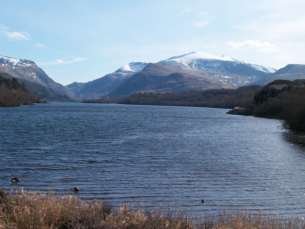
Launch from the shore at Gilfach Ddu in Padarn Country Park, beside the National Slate Museum and the pay car park. The loop runs north-west along the quieter north shore, under the old oak woods of Coed Dinorwig, to the head of the lake by Pont Penllyn, then back down the middle and the south side past Llanberis. Behind you the slate terraces of Dinorwig climb the hillside; ahead Yr Wyddfa rises above the Llanberis Pass, with Dolbadarn Castle on its knoll between Llyn Padarn and Llyn Peris.
It is 6.4 km round; allow about 1½ hours in a canoe or kayak and 1¾ on a paddleboard. The grade is Easy: you are never more than about 220 m from a shore, and there are sheltered bays to duck into. But the wind can funnel down the pass and raise a chop quickly, and the water is cold even in summer, so keep near the shore if it freshens.
Individuals can launch freely; group organisers may need a permit from Gwynedd Council. Your Paddle Cymru or Paddle UK licence does not cover lakes, and none is needed here. Bangor is the nearest mainline station, with buses to Llanberis. Wear a buoyancy aid and check the conditions before you set off.
Route drawn by Global Adventurer along OpenStreetMap waterways (© OpenStreetMap contributors, ODbL), with figures worked out from it. Check the forecast and the ground on the day: paths change.
Good to know
- Under Yr Wyddfa and the Dinorwig slate quarries
- From Gilfach Ddu, home of the National Slate Museum
- Past the ancient oak woods of Coed Dinorwig
- Dolbadarn Castle stands between Llyn Padarn and Llyn Peris
On the water
- Put in: Car park · parking charged 53.12218, -4.11606
- No locks or weirs on the way.
- About 5.9 km (3.7 mi) on open water, up to 220 m from the shore: wind and waves build quickly.
- Suits canoes, kayaks, paddleboards.
Getting there
Start: Gilfach Ddu, Padarn Country Park. 53.12218, -4.11606
Places to stay nearby
Rooms in and around Gilfach Ddu: Booking.com → Expedia →
Affiliate links: if you book, Global Adventurer earns a small commission at no cost to you.
Water levels, flow and the weather decide the day. The line and figures come from OpenStreetMap and our own checks; wear a buoyancy aid, check the river levels and the forecast, keep well clear of weirs and powered boats, and don't go out in flood.