Line © OpenStreetMap contributors (ODbL), checked by Global Adventurer.
The paddling route
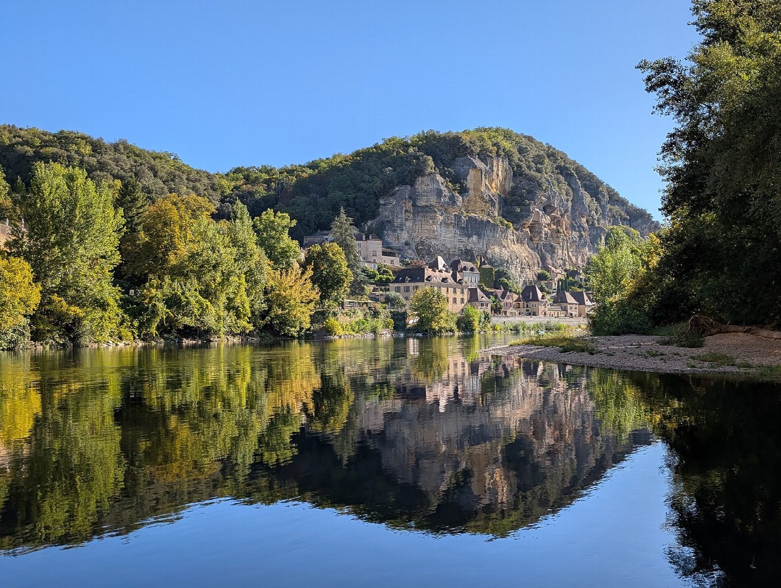
Put in at the slipway by the old river port at Cénac, just above the bridge, and let the Dordogne carry you west through its valley of walnut groves and limestone cliffs. After about 3 km the river swings under La Roque-Gageac, a village built into the foot of an overhanging cliff, with traditional gabare boats moored along its quay. Below it the valley widens towards the castles: get out on the gravel shore above the bridge at Castelnaud-la-Chapelle, below the castle that faced Beynac across the river in the Hundred Years' War.
It is 7 km one way; allow about 1½ hours in a canoe or kayak and 2 on a paddleboard. The grade is Easy: a steady current, grade I, with gravel riffles and bends but no weirs or rapids.
Without a guide you may paddle here only while the Cénac gauge reads under 1.50 m, and the préfecture closes the river after storms. Children under 5 may not go, and a buoyancy aid is compulsory. Paddleboards may be used unsupervised only from 1 June to 30 September. Pass bridge piers well clear, watch for fallen trees, and keep away from the gabares at La Roque-Gageac. Dams far upstream can make the level change within hours. In summer this is a very busy stretch. Wear a buoyancy aid and check the conditions before you set off.
Route drawn by Global Adventurer along OpenStreetMap waterways (© OpenStreetMap contributors, ODbL), with figures worked out from it. Check the forecast and the ground on the day: paths change.
Good to know
- Down the Dordogne under the cliff village of La Roque-Gageac
- Ends below Castelnaud castle, which faced Beynac across the river in the Hundred Years' War
- An easy grade I river: a steady current and gravel riffles, with no weirs
- The whole Dordogne basin has been a UNESCO biosphere reserve since 2012
On the water
- Put in: Slipway 44.80504, 1.20879
- Take out: Castelnaud-la-Chapelle, riverside green above the bridge (gravel beach) 44.81445, 1.15330
- No locks or weirs on the way.
- River level: La Dordogne à Cénac-et-Saint-Julien. Check it before you go, and don't paddle when it is high.
- Rules and licences: EPIDOR, Préfecture de la Dordogne. Check whether you need a licence before you go: on many inland waters in England and Wales you do, and Paddle UK membership includes one for many of them.
- Suits canoes, kayaks, paddleboards.
Getting there
Start: Cénac, slipway above the bridge. 44.80504, 1.20879
Places to stay nearby
Rooms in and around Cénac: Booking.com → Expedia → Hotels.com →
Affiliate links: if you book, Global Adventurer earns a small commission at no cost to you.
Water levels, flow and the weather decide the day. The line and figures come from OpenStreetMap and our own checks; wear a buoyancy aid, check the river levels and the forecast, keep well clear of weirs and powered boats, and don't go out in flood.