Line © OpenStreetMap contributors (ODbL), checked by Global Adventurer.
The paddling route
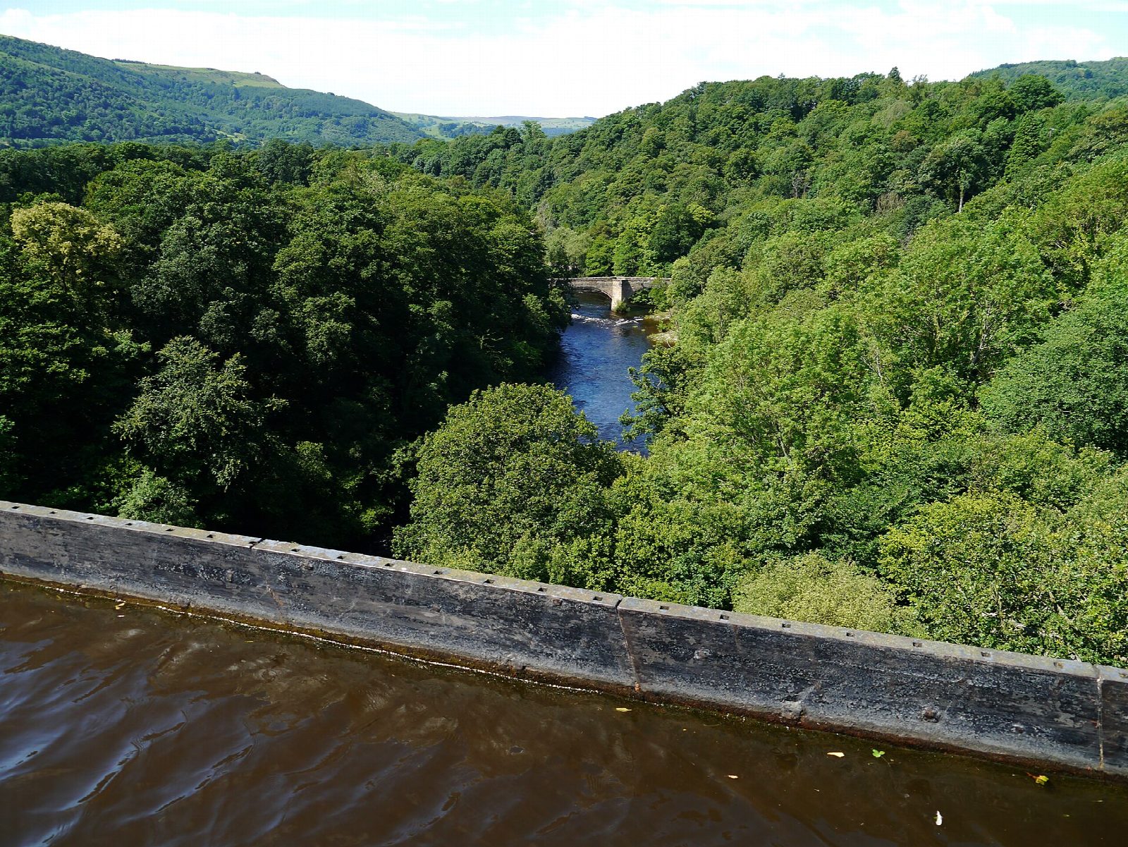
Put in at Llangollen Wharf, where the horse-drawn trip boats start, and paddle east along the Llangollen Canal. Above Trevor it is narrow and shallow, cut into the hillside above the Dee, and the water, drawn from the river at Horseshoe Falls, flows gently with you. Some stretches are only wide enough for one narrowboat: look ahead and wait in a wider place. At Trevor the canal turns south across Pontcysyllte Aqueduct, Telford's iron trough 38 m above the river, opened in 1805 and now part of a World Heritage Site. Take out at the slipway by Froncysyllte lift bridge, just beyond.
It is 7.6 km one way; allow about 1¾ hours in a canoe or kayak and 2¼ on a paddleboard. There are no locks. The grade is Easy because of the aqueduct: it is high and exposed to wind, and has a railing on the towpath side only. Cross in single file, give way to craft already on it, and do not set off if a boat is coming the other way. Paddleboarders must not paddle across: get off and walk, towing the board in the water.
You need a licence: Paddle UK or Canoe Wales membership includes one, or buy one from the Canal & River Trust. Wear a buoyancy aid and check the conditions before you set off.
Route drawn by Global Adventurer along OpenStreetMap waterways (© OpenStreetMap contributors, ODbL), with figures worked out from it. Check the forecast and the ground on the day: paths change.
Good to know
- Across Pontcysyllte Aqueduct, 38 m above the Dee and part of a World Heritage Site
- The canal carries water from the Dee down from Horseshoe Falls, so there is a gentle flow with you
- A narrow canal above Trevor: some stretches are single-file for boats
- No locks; Trevor Basin has a visitor centre
On the water
- Put in: Llangollen Wharf (bank) 52.97200, -3.17050
- Take out: Slipway 52.96457, -3.08754
- No locks or weirs on the way.
- Rules and licences: Canal & River Trust. Check whether you need a licence before you go: on many inland waters in England and Wales you do, and Paddle UK membership includes one for many of them.
- Suits canoes, kayaks, paddleboards.
Getting there
Start: Llangollen Wharf. 52.97200, -3.17050
Places to stay nearby
Rooms in and around Chirk: Booking.com → Expedia →
Affiliate links: if you book, Global Adventurer earns a small commission at no cost to you.
Water levels, flow and the weather decide the day. The line and figures come from OpenStreetMap and our own checks; wear a buoyancy aid, check the river levels and the forecast, keep well clear of weirs and powered boats, and don't go out in flood.