Line © OpenStreetMap contributors (ODbL), checked by Global Adventurer.
The paddling route
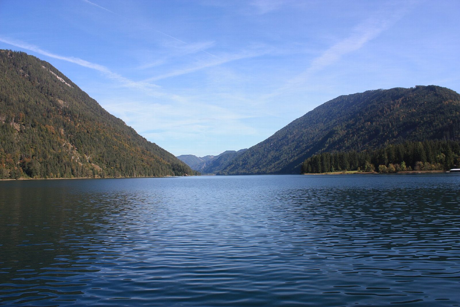
Put in at the boat area of the municipal lido at the east end of Weissensee and paddle west along the north shore, under steep wooded slopes with no road above them. The lake here is narrow, clear and blue-green, with the Gailtal Alps closing in on both sides. Before the Steinwand landing, cross to the south shore and come back east beneath the forest, past the Dolomitenblick landing, to the lido.
It is 5.3 km round; allow about 1¼ hours in a canoe or kayak and 1½ on a paddleboard. The grade is Easy: sheltered water close to the shore, with one short crossing of a lake no more than a few hundred metres wide.
Weissensee belongs to the Austrian state forests, and anyone may paddle it without a permit; private motorboats are banned. The start is the Stockenboi lido, open from 1 June to 20 September: pay the entry, land only in the area marked for boats and keep out of the swimming zone. Outside that season we could not confirm a public launch here. The lake's passenger ships run from May to late October: keep clear of their landing stages and cross their course at right angles. Stay out of reeds and water-lily beds, and get off the water early when afternoon storms build. Wear a buoyancy aid and check the conditions before you set off.
Route drawn by Global Adventurer along OpenStreetMap waterways (© OpenStreetMap contributors, ODbL), with figures worked out from it. Check the forecast and the ground on the day: paths change.
Good to know
- Round the roadless east end of a motorboat-free mountain lake
- Weissensee lies at 930 m and is 11.6 km long; two-thirds of its shore is natural
- The lake community chose in the 1960s to have no road round the lake and no private motorboats
- In cold winters it freezes into one of Europe's longest natural skating rinks
On the water
- Put in: Strandbad Weissensee Ostufer (beach) 46.70261, 13.41125
- No locks or weirs on the way.
- About 5.3 km (3.3 mi) on open water, up to 289 m from the shore: wind and waves build quickly.
- River level: Weißensee lake level and temperature (Hydrographischer Dienst Kärnten). Check it before you go, and don't paddle when it is high.
- Rules and licences: Österreichische Bundesforste, Gemeinde Stockenboi. Check whether you need a licence before you go: on many inland waters in England and Wales you do, and Paddle UK membership includes one for many of them.
- Suits canoes, kayaks, paddleboards.
Getting there
Start: Strandbad Weissensee Ostufer. 46.70261, 13.41125
Places to stay nearby
Rooms in and around Hermagor: Booking.com → Expedia → Hotels.com →
Affiliate links: if you book, Global Adventurer earns a small commission at no cost to you.
Water levels, flow and the weather decide the day. The line and figures come from OpenStreetMap and our own checks; wear a buoyancy aid, check the river levels and the forecast, keep well clear of weirs and powered boats, and don't go out in flood.