Line © OpenStreetMap contributors (ODbL), checked by Global Adventurer.
The paddling route
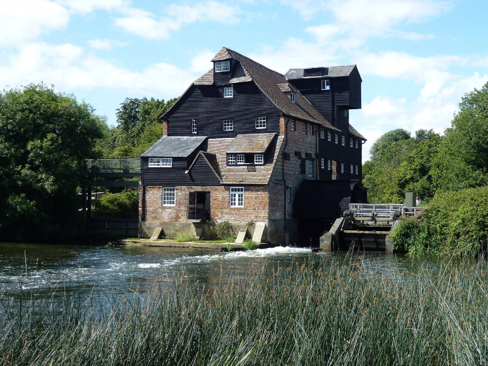
Put in at the canoe launch by Houghton Mill, the National Trust's working watermill, and follow the Great Ouse downstream across the water meadows. The river passes the church spire at Hemingford Abbots and comes to Hemingford Lock beside Hemingford Grey, where you get out at the landing and carry round. It then runs on between willows and meadows into St Ives; take out at the canoe access point on the left bank above the town, a short walk from the quay and the medieval bridge with its chapel.
It is 4.2 km one way; allow about an hour in a canoe or kayak and 1½ on a paddleboard, including the portage. The grade is Easy because of the portage; otherwise this is still, sheltered water. Motor cruisers use the river from spring to autumn, so keep to the right.
This is an Environment Agency navigation: you need a registration, which Paddle UK membership covers, or register with the Agency. The meadows flood in winter, when the river runs fast: check the Houghton gauge and do not paddle in flood. The Houghton Mill car park charges; Huntingdon is the nearest station. Wear a buoyancy aid and check the conditions before you set off.
Route drawn by Global Adventurer along OpenStreetMap waterways (© OpenStreetMap contributors, ODbL), with figures worked out from it. Check the forecast and the ground on the day: paths change.
Good to know
- From the National Trust's Houghton Mill, the last working watermill on the Great Ouse
- Past Hemingford Abbots and Hemingford Grey
- One portage, at Hemingford Lock
- Into St Ives, with its chapel on the medieval bridge
On the water
- Put in: Canoe launch 52.33068, -0.11972
- Take out: Canoe launch 52.32565, -0.07784
- Lock: Hemingford Lock · 2.3 km (1.4 mi) from the start · carry round (portage)
- River level: Houghton (River Great Ouse). Check it before you go, and don't paddle when it is high.
- Rules and licences: Environment Agency. Check whether you need a licence before you go: on many inland waters in England and Wales you do, and Paddle UK membership includes one for many of them.
- Suits canoes, kayaks, paddleboards.
Getting there
Start: Houghton Mill. 52.33068, -0.11972
Places to stay nearby
Rooms in and around Huntingdon: Booking.com → Expedia →
Affiliate links: if you book, Global Adventurer earns a small commission at no cost to you.
Water levels, flow and the weather decide the day. The line and figures come from OpenStreetMap and our own checks; wear a buoyancy aid, check the river levels and the forecast, keep well clear of weirs and powered boats, and don't go out in flood.